Hiking up to the sister crater to the east
Looking back to Masaya
This crater has been inactive for many years and we could see its floor. The steam and vapor in the other cone precluded a view inside.
Note the alternating cliffs and thin slopes. The cliffs are formed from lava flows while the slopes are horizons of ash and cinders that are unconsolidated, thus weathering into vegetation-covered slopes.
Every now and then the wind would shift and we could see a bit into Masaya crater
The unvegetated ridge in the background is part of the outer ring of a caldera and the lack of trees is due to the volcanic gases that blow in that direction. It was a fantastic morning.
Back in Managua we visited the ruins of the city cathedral, destroyed by the 1972 earthquake
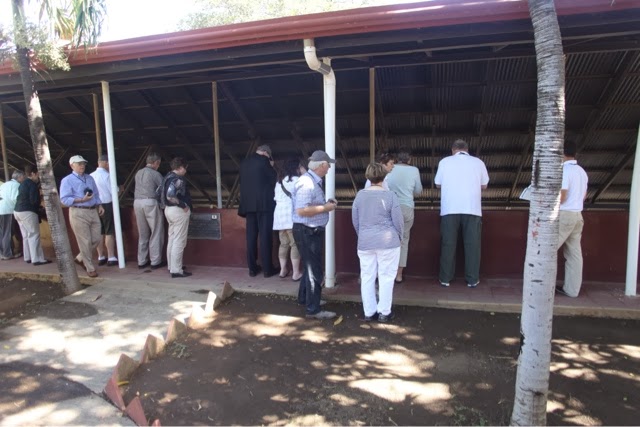
And we got to visit the wonderfully preserved footprints made about 2,120 BP, in soft volcanic soil. The site is called Ancahualinca. A description can be read here: http://en.wikipedia.org/wiki/Ancient_footprints_of_Acahualinca


