Today is December 12, one of the most important religious and cultural holidays in all of Mexico. The feast day of Our Lady of Guadalupe commemorates the appearance of the Virgin Mary to an indigenous peasant in 1531, twelve years after Hernan de Cortéz rode boldly into the Aztec capital of Tenotchitlan and eventually and forever changed the course of history in the America's. The Vatican News has published a nice write-up of the events here. Another, longer version can be found on Wikipedia here.
I happened to be in Mexico on December 12, 1977 on the first of what would be many adventures to this colorful and historic land. And three years ago on this blog, I wrote up the story of an unforgettable night I experienced while traveling in the Mexican state of Oaxaca. Like a reading of the Declaration of Independence on July 4, or a recitation of David Sedaris's "Santaland Diaries" over the Christmas Holiday, I cannot forget the scene that unfolded before my eyes 46 years ago today. Here is a complete reposting below (with minor updates). Enjoy the read and a very happy Dia de Fiesta de Nuestra Señora de Guadalupe!
----------------------
December 12 is one of the most important religious holidays in all of Mexico. On that day people are on the move from rural villages to their parish church (sometimes many hours away on very poor roads), to visit family members, or to take part in colorful celebrations. (Here is one article about the importance of Our Lady of Guadalupe to the Mexican people). My first experience with this feast day came in 1977 when I was on my fourth significant lifetime adventure - traveling by bus and hitchhiking for three months through Mexico, Belize, and Guatemala. I will never forget what I saw and experienced on that night in rural, tropical Mexico. It is a memory that comes to life each December 12 from 43 years ago. |
| 16th century image of Our Lady of Guadalupe |
We were about four weeks into our adventure. I had just finished my second season as a backcountry ranger at Grand Canyon National Park. Those two years changed the course of my life but they did not take me away from my desire to throw off the chains of predictability and hit the road. I had previously made three, six-week long hitchhiking adventures in the USA and Canada during the summers of 1973 and 1974, and the winter of 1976. After my expected seasonal layoff at Grand Canyon, I drove with my girlfriend, Cindy Kane, to Austin Texas where we met her old boyfriend Peter Sprouse. Peter was a professional caver who with his fellow spelunkers, was going down to eastern Mexico to map the Cueva de Infiernillo, at that time thought to be the second longest cave in the Western Hemisphere. A paper describing the cave system can be accessed here. Back then, how was I to know that the cave system was formed in Cretaceous limestone?
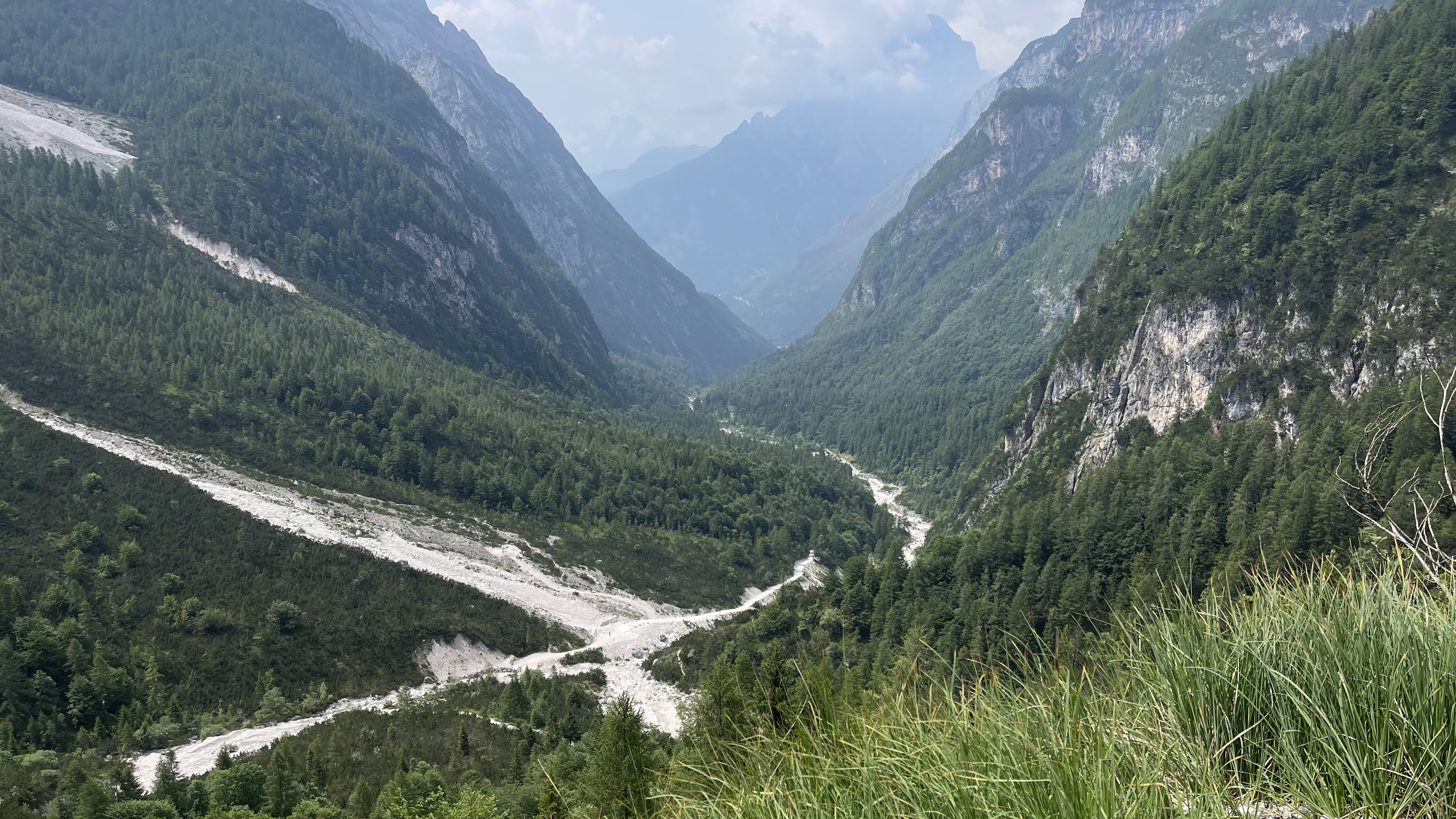
After this amazing 10-day backcountry camping adventure, we made our way south and completed a seven-mile hike to another cave, the Sótano de Las Golondrinas, where at sunset thousands of white-collared swifts dive headlong into the bell-shaped cavern that is over 1200 feet deep. We visited Mexico City and then took a bus to Oaxaca city, where we caught passage on a second-class bus to Puerto Ángel, a beachside resort where we slept in hammocks under a palapa. This is where the Guadalupe story begins.
Puerto Ángel was a tried and true stop along the Gringo Trail in the mid-70s. After our early December arrival, we looked out onto the south-facing Pacific Ocean with temperatures in the low 90s. Columnar cactus graced the nearby hillsides and I reflected on what the weather must've been on this very day in mountains of northern Arizona. I could not believe my good fortune to be laying out on a beach, hotter than I wanted to be, but enjoying a superb road trip. We paid the equivalent of one dollar a night (about 22 old Mexican pesos) to string our hammocks at a place called Suzanna's. When I asked the proprietress, "Donde está el baño?" she lifted her chin towards the garden and said, "ayi" - out there. As I went outside she muttered under her breath, "el puerco". I was confused but what the hell - this was Mexico and I was often confused. Sure enough, within five minutes of me completing my business, there was not a trace to be seen as the pig snorted looking for more goodies to gobble amongst the cacti. What I had left behind, including the paper was gone. I didn't eat bacon for a month.
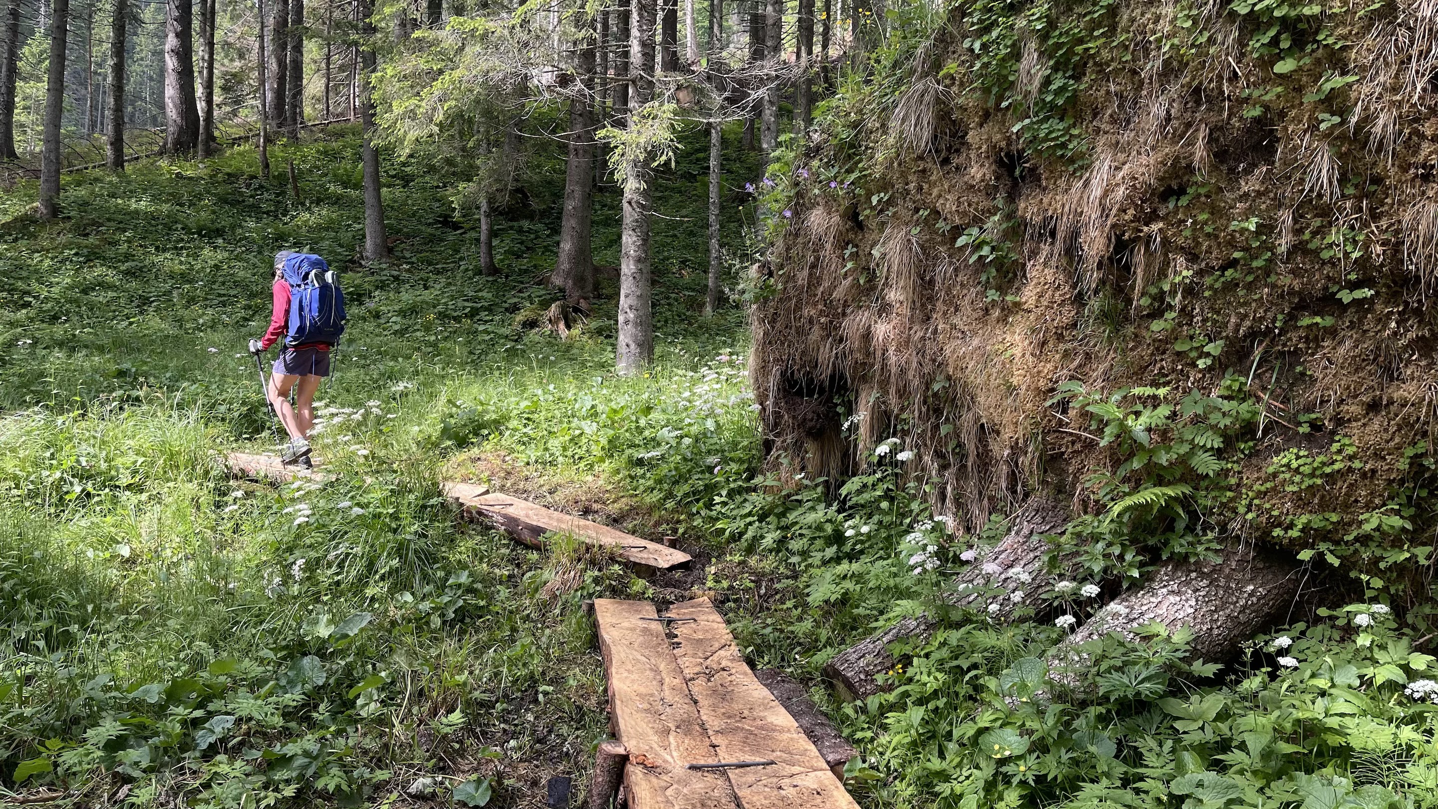
The road to Oaxaca

After a few days being beach-bums, Cindy and I decided to move towards the state of Chiapas and the ruins of Palenque. So we packed our hammocks into our backpacks and went to the bus station in Pachutla late on the afternoon on December 12. As we entered the bus station, what a scene was spread out before us! Hundreds of tiny Mexicans were crowding toward the three-window ticket office. Cindy, a long-haired blonde about 5' 7" really stood out amongst the sea of black hair. She and I towered over these mixed-race Mestizo's, who held more Indian blood than Spanish. Everyone was crowding cheek to jowl towards the caged ticket agents - there was not even a slight semblance of a line. We asked a few people next to us why there were so many people here and they replied. "La Fiesta. La Fiesta de Nuestra Señora de Guadalupe." Whoa! We had no idea.
It became obvious to us that we were going to have to be as proactive as we possibly could to get to those ticket windows. There was no other way. We were told that if we didn't get a bus ticket that night, there would no more buses until the following morning. I was still a bit uncomfortable traveling in a country that I didn't know the language well, nor the customs. So it was rather easy for me to use our height advantage to struggle our way to the ticket window. It was like a scene out of a movie, hundreds of people attempting to make it to the window, with very little movement at any one time. After about 45 minutes, we got to the window where I obtained what seemed like the last two seats on a second class bus, traveling through the night for nine hours on the bumpy road to Oaxaca. I felt exhausted from the ticket ordeal, but had no idea that most of the adventure still lay ahead of us. In a situation such as this, I thought there was no guarantee that we would even get on the bus, ticket or not. Nevertheless, we did get a seat on a bus at about 8 PM. (Bus travel in Mexico back then was nothing like it is today, where reservations can be made online on busses that are roomy with Wi-Fi - it was quite primitive then).
It was pitch-black dark outside in the warm tropical air and I looked forward to being in the mountains overnight where it would be much cooler. I also entertained visions of sleeping on the bus all the way to Oaxaca. Once seated on the bus, I began to relax. The trip started out easy enough as we climbed into the Sierra Madre de Sur. The road was extremely rough in those days and that was part of the reason why it would take nine hours to do the approximate 150 miles. What I didn't count on was that our backseat was not completely bolted to the floor of the bus. The gentle rocking of the seat was barely noticeable as we left the station. But as we began to climb and the road was beset with more rocks, it became obvious that sleep was going to be very difficult.
After a few hours, difficult sleeping turned to impossible as with every bump in the road, the seat rocked forward and backward such that my head slammed onto the back window of the bus with each jolting rock. If that wasn't enough, the back door of the bus did not close firmly and was only being held partially closed by a wire. About an inch of open air creeped in behind the seat the whole night. Along the coast, this might have been welcomed relief from the stuffiness of the crowded bus and the tropical heat. Here, it merely meant that cold air from the mountainous setting was let in. To add insult to injury, the opening also let in prodigious amounts of dust, which at first in the nighttime darkness was not obvious but soon became thick as smoke inside the bus. Between the bumpiness of the road, the rocking seat, and the choking dust, I was unable to get comfortable, let alone sleep. The bus was like most of the buses in Latin America, a Blue Bird. It was therefore made for elementary school children and so there was very little legroom to begin with.
What a night! There was no sleep. The ordeal at the ticket office would've been memorable enough, but the bus ride only added to the adventure. I was in a very foul mood when the bus finally pulled in to the second class bus station at sunrise in downtown Oaxaca. I looked at my clothing, caked in white powdery dust. I wondered what my lungs might look like too. I went to the young conductor who was on the bus and showed him how the seat was not bolted properly to the floor, hoping that he might somehow make it all go away. Shrugging his shoulders all he could muster was "lo siento," I'm sorry. Cindy was none too happy as well, as it had been my idea to "sleep" on the bus rather than stay in a cheap hotel to save precious funds (we did the whole three months on $350 each). Her bad mood might have been more likely due to my handling of the situation. She seemed more willing to let the night be chalked up to just another Mexican adventure.
To think that I had fought off hundreds of other Mexicans in a crowded second-class bus station, only to obtain a seat on an overcrowded bus (a rickety old school bus at that), with an ill-fitted bench seat and a door that did not close, on a bumpy dirt road with clouds of dust and bitter cold for nine hours, was about as much as I could take.
As the city awoke in the station yard in Oaxaca, I marched off brusquely and bleary-eyed toward the baño. As I entered the restroom I saw it was filled with many tiny little men standing at the urinals. But I had other business there and as I scanned the space to locate the toilets, I saw none. Focusing more clearly, I could see across from the urinals where the toilets should have been. Instead I saw only their foundations where they apparently had been broken off with a sledge hammer rather than repaired. I could not believe my eyes. Even if had I just walked into this baño after a drunken round of cold Modelo's, this would have been a shock. But after the previous night's adventure, it was all part of an evolving story. Only the sharp, upturned edges of the toilet foundations were protruding above the hole where the toilets should have been, their normally white porcelain edges draped in piles of human waste. My need for a morning constitution quickly escaped me. It was only as I exited the east-facing door, with the brilliant sunshine in my eyes, that I came to see the entire situation in a more comic sense. It was there and then that I regained my composure and laughed at the incredible sequence of events that brought me to this place at this time. Something clicked inside of me in this indignant end to an unforgettable night.
Some readers may wonder why I recall this story. I will be the first to admit that the final act in this play is not a pleasant memory. However, throughout the entire night there was not one Mexican who treated me badly, nor I suppose would think my attitude towards it inappropriate. In fact, it was quite the opposite. Most of them looked at me with sympathy and understanding, knowing that I came from a culture that saw life's little inconveniences as major traumas to be avoided at all costs. To them, this was just the other side in the coin of life. Throughout that three month-long journey, I became schooled many times in the different ways to frame what happens to you along the road of adventure. It took a number of incidents similar to this for it to break through - that how I reacted to what was placed in front of me, mattered much more than how the encounter appeared.
And so this is why every December 12, I recall with a smile the importance of the feast of Our Lady of Guadalupe, the matron saint of Mexico. As Carl Franz told us, "Wherever you go, there you are"!