Tuesday, October 29, 2019

Landscapes and Cultures of Bhutan

Bhutan is an Eastern Himalayan Kingdom surrounded by India and China. Think about that for a moment when you consider that the country only has 760,000 citizens. It was a closed to all outsiders until 1971 and television and the internet were only introduced in 1999. You readily notice how this influences a visit to the country today. There is no private touring in Bhutan - everyone must be on an organized tour with a guide (except for Indian nationals who were recently granted visiting privileges without a guide). It's an un usual and mountainous country.

The Four Pillars of Gross National Happiness in Bhutan.  In 1972, King Wangchuck instituted a measurement known as Gross National Happiness, whereby the purpose of the political state was to insure a level of contentment for all citizens.

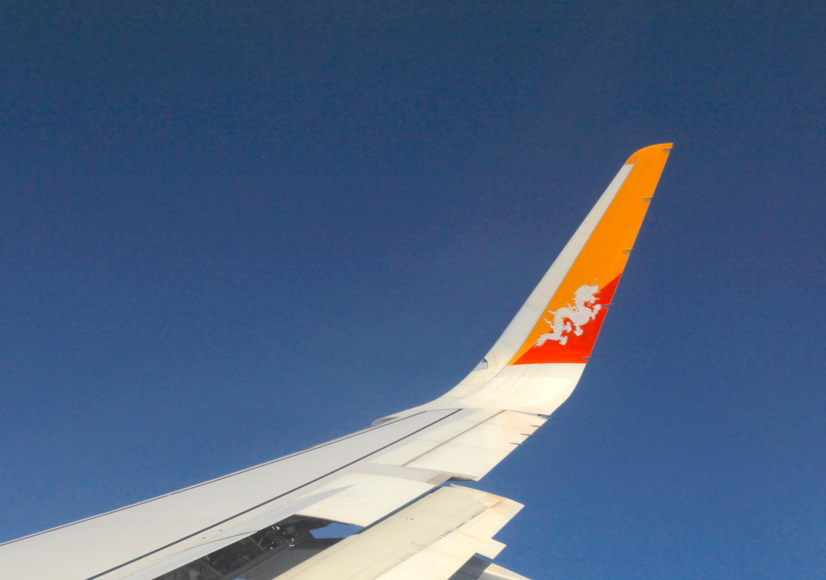
The national flag can be seen painted on the winglets.

The flight into Paro (the only international airport) is an adventure and only a few pilots with the national airline (Druk Air) are licensed to fly into it. Mountains require a sharp S-turn in some conditions.

Literally, everywhere I went in Nepal and Bhutan, the sidewalks were paved in cut slabs of muscovite schist. It was astounding that this stone was used along such a wide margin of the Himalayan front.

Here is a close-up of a hand sample along a road cut. These rocks were altered from shale that was deposited in the Proto-Tethys Ocean, in existence from about 700 to 500 Ma. The metamorphism occurred along the thrust faults that underlie the mountains.

Our first stop was Thimpu, the capital of the county. While visiting the Textile Museum, I saw these two workers carrying a load of dirt to a construction site. This technique was observed elsewhere and although I did see a few bulldozers, muck of the labor is still done by hand.

Bhutan was inhabited as early as 2000 BCE, and the modern history begins in the 7th century when people came over the Himalaya from Tibet and introduced Buddhism. (A structure in Paro remains from this time period of settlement). Numerous fortresses/monasateries called Dzongs dot the countryside and the one seen above sits in the Thimpu Valley.

The Thimpu Dzong at night is a beautiful sight.

A giant Buddha statue has been built on Thimpu's southern hillside. We were able to enter the temple that sits beneath the statue.

Monks at the Buddha statue.

The Buddha and clouds.

This is a view to the north of the Thimpu Valley. The High Himalaya are hidden by clouds but the mountainous nature of the landscape is evident.

After leaving Thimpu we drove east on the East West Road, which took us over Dochula Pass, elevation 10,171 feet. Here there are 108 memorial chortens or stupas that overlook the highway.

Unfortunately, the clouds covered the High Himalaya and we could not see the glaciated peaks in the distance. However, the large cypress trees in this protected area were fabulous to see. As I have observed in Nepal, the peaks are what your eye sees readily but the depth of the cvalleys is no less astounding. A hint of that can be observed in this photograph.

Our local guide, Dorji, prepares the prayer flags that we will hang across the East West Road. This location is one he uses only for the Smithsonian trips.

Our driver, Sonam, takes the string across the road...

...and climbs the road cut across the way...

...to a tree that looked to be too young and too dead to hold him - to make the final attachment. Honestly, this feat was amazing to watch as he was dressed in what looked like inappropriate shoes for climbing loose soil and dead trees! But Sonam was in the equivalent of our Green Berets and as such is used to doing death defying feats. It was amazing to watch.

As we entered the valley of Punakha, I made a friend at a local temple site. Rather, she made a friend as she was the one to come over from where her mom was selling crafts and just sat on my lap.

The journey included a rafting trip on the Mo River, the mother river in the native tongue.

We ran about 15 kilometers on the Class II stretch. Water rom the Himalaya!

A wonderful lunch was prepared for us riverside after the trip.

This beautiful Dzong is also located on the Mo River.

This is the covered bridge leading to the Dzong.

And a view from inside the covered bridge.

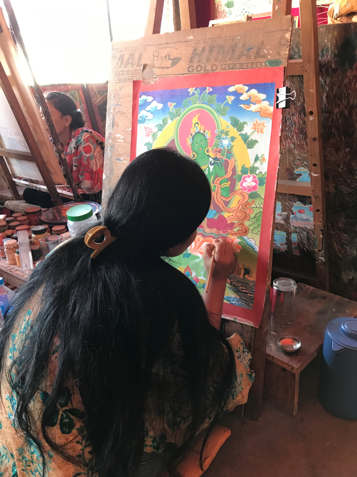
The artwork inside the Dzong is fabulous and reflects Himalayan themes. Note the snow-capped peaks in these two paintings.

Hallway in the Dzong.

Courtyard.

I'm pretty sure a grandmother is carrying her grandchild while the great grandmother looks on.

Another view. Bhutan is off the path well-traveled but if you have the resources it is well worth the effort.

Monday, October 21, 2019

Kathmandu Nepal and the 2015 Gorkha Earthquake

Long-time readers of this blog may recall that I visited Nepal in 2007 as part of an Everest Base Camp Trek. (There are actually 12 separate posts from October, 2007 and the very first one can be accessed here - you can peruse the other 11 at the bottom of each post by clicking on Newer Post). In the intervening 12 years, Nepal experienced one of its most devastating earthquakes on April 25, 2015, called the Gorkha Earthquake. It was centered west of the city of Kathmandu and measured 7.8M on the Richter scale. A powerful aftershock with a magnitude of 7.2 ruptured 17 days later to the east of Kathmandu. I begin this blog post with five slides from my lecture to the group about the earthquake. Below that are a few pictures of Kathmandu four and half years after the quakes.

Here is a geotectonic map of Nepal showing the surface location of the the two main thrust faults labeled MBT (Main Boundary Thrust) and MCT (Main Central Thrust). The material above each thrust fault in this map is being shoved to the south (toward the bottom of the map) as the Indian subcontinent is shoved beneath Asia. The two black dots show the epicenters of the 2015 quakes.

This is a cross-section through Nepal that shows the subsurface nature of the thrust faults. India is located to the left, Tibet to the right. The April 25, 2015 earthquake is thought to have ruptured along the Main Boundary Thrust which for some reason is labeled here as the MHT or Main Himalayan Thrust (different workers give different names to the same features). Curiously, this earthquake did not rupture to the surface but rather all of the motion was accommodated in the subsurface.

Notable Nepalese earthquakes since 1255. Those higher than 8.0M are colored pink or blue.

On April 25, 2015, this small Nepalese village was enjoying a quiet peaceful day until just before noon...

... when the earthquake hit at 11:56 AM local time, the hillside on the right let loose and completely covered the village in debris. Such is the power of thrust-related earthquakes. In all, nearly 9000 people lost their lives in this quake and another 23,000 were injured. It is estimated that 3.5 million people were left homeless.

Our tour began with a walk to the Buddhist temple called Boudhanath. This has been a holy place since about the sixth century. The 2015 quake badly damaged the spire which had to be removed from the top and rebuilt. It reopened in 2016.

Thankas are colorful Buddhist paintings that depict the teachings of Buddha. This girl was intently working on her painting in a shop we visited near Boudhanath.

A New World food crop, the chili pepper, is widely used in Nepal and Bhutan and these colorful pods were for sale on a street market.

When the trip is ended on October 25, I will have been in Nepal and Bhutan for 14 days and in all of that time, every single sidewalk I will have seen is paved in this silvery, muscovite schist. Note the brown garnets as emergent knobs in this example. Garnet can be used to determine the depth of metamorphism as the various species form under specific temperatures and pressures. These rocks were deformed in the collision between India and Asia and began life as layers of sandstone or shale that accumulated in the Proto-Tethys Sea, a precursor to the Mesozoic Tethys Sea.

We visited the Durbar Square in Lalitpur which also received considerable damage in the 2015 quake. The temple complex was first founded in the third century BCE on top of a small hill south of the Bagmati River. The hill is an eroded remnant from an ancient lake that once filled the Kathmandu Valley between 2.5 and 0.015 Ma. Most of what you see here is reconstructed after the quake.

Panorama of the main thoroughfare in Lalitpur.

A hidden courtyard where we enjoyed lunch.

The entrance to this courtyard has been rebuilt since 2015 using steel reinforcements that match the ancient styles.

Sculpture of a water buffalo in Lalitpur cut into gneiss.

Finally, we visited the Durbar Square in Kathmandu proper, where the reconstruction is still ongoing.

Buildings here are still being held up with retaining posts. The walls are constructed with adobe blocks.

Close-up of the protective posts.

This is a red brick monument where the two girls enjoy the appearance of safety from the retaining posts.

Kathmandu is a city of four million people that can only be described as organized chaos. One must dig deep to find the charm of so many people crowded together in a mix of cars, motorbikes, buses, pollution and thousands of electrical wires on poles. Still, the fascination remains.

As an anecdote to the bustle of the city, our tour tour included two nights at a hilltop resort called Nagarkot located 30 miles outside the city. Here is a sunrise through the haze of the Kathmandu Valley.

The high Himalaya as seen from Nagarkot. The world's tallest mountains are formed by the collision of India with Asia. Large blocks of crust are thrust south and over the northern edge of the Indian subcontinent. As the uplifted block rises, it is subjected to the forces of erosion, which shapes the crust into jagged, high-standings peaks. Thus what we see here is mainly the work of erosion acting on an uplifted block. Spellbound, we move on to the kingdom of Bhutan.