The next destination in the series,
"We Are Cratering in Northern Arizona" is Moon Crater. This volcanic center is labeled as
Crater 170 on Harold Colton's 1936 map in
"The Basaltic Cinder Cones and Lava Flows of the San Francisco Mountain Volcanic Field" (republished in 1967), and as
Vent 3031 on the USGS
"Geologic Map of the East Part of the San Francisco Volcanic Field, North-Central Arizona." You can access the
USGS map here:
MF-1960.
*** Note to any would-be visitor to Moon Crater: The eastern half of the cone is on private land and only the western half is open to the public as part of the Coconino National Forest. The red and green lines on the map above only denote a walking route used by the local landowners.
Panoramic view of the interior of Moon Crater looking east.
Annotated panoramic view of the photo above. The yellow line depicts the rim of Moon Crater. A secondary cone erupted within this larger feature and is outlined in red.
Five cinder cones are depicted in this excerpt from the USGS map MF - 1960. Moon Crater is the circular feature at bottom center. Qbb represents basaltic rocks that have normal polarity (meaning younger than 780,000 years) and are latest Pleistocene in age. The are rocks that form the cone inside the larger crater (red outline in the photo above). Qbbt represents basaltic tuff of the same age, forming the rim of Moon Crater. Qbsbp is Sunset Crater tephra that landed in the bowl of Moon Crater. It is assumed that the same deposit is already stripped from the rim of the crater.
View to the northeast from the rim of Moon Crater. Merriam Crater is the cone seen in the distant background. It may be the source for the lava flow that created Grand Falls (or the flow may have come from The Sproul, the small, dark, cloud-covered cone in front of Merriam's right shoulder.
A likely
fulgurite where lightning struck a rock on top of Moon Crater and melted the heated portion.
View to the southeast of a series of beautiful cones and craters.
View to the northwest. The flat-topped mesa in the far distance is Gray Mountain.
The lone cone in the distance is Roden Crater, where artist James Turrell is shaping the entire cone into a work of art. Look at the web site
here and be sure to let each page run the film (three pages).
The rocks on top of Moon Crater have been around long enough to have
ventifact surfaces. These are surfaces shaped by particles that blow in the wind and abrade the rock surface.
Late afternoon light on the rim of Moon Crater.
A closer view of the north rim of the crater (foreground and skyline) and the slightly younger interior cone (right).
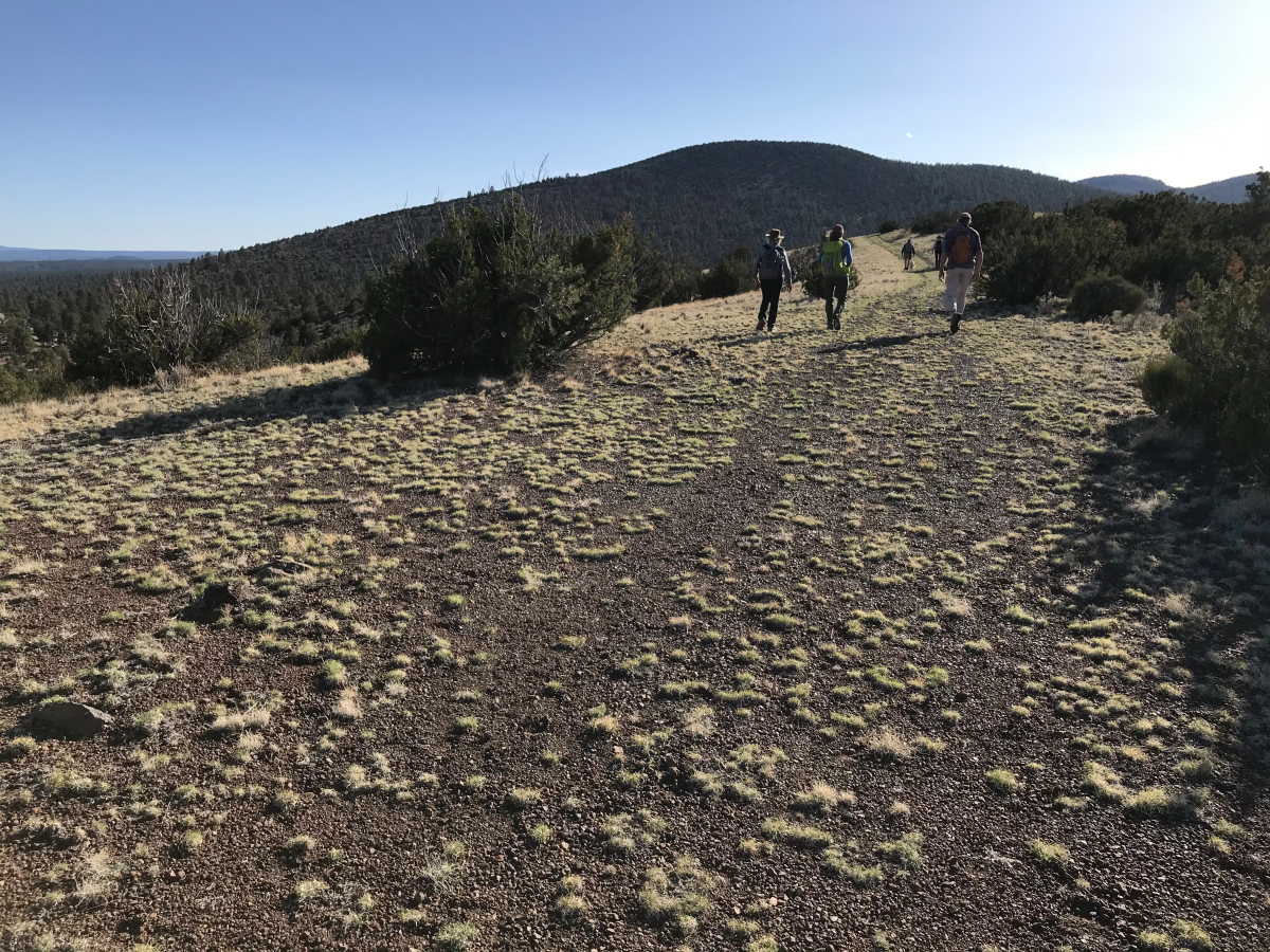
Descending down to the vehicles. Note the ponderosa pine trees in the valley below. This elevation marks the boundary between the ponderosa and Pinyon-Juniper eco-zones. Next on the tour is the Turkey Hills.


No comments:
Post a Comment
If your comment will not post, email me with the problem.