There are fields and fields of canola growing everywhere on the southwestern Alberta prairies.
Finally, the Rockies come into view.
It's the heart of summer here with flowers everywhere. Note the low gap in the mountains (top center) - that is the valley of Waterton Lake.
Waterton Lake was carved by Pleistocene glaciers and the international boundary runs across this view about halfway up the lake. The village of Waterton can be seen to the right.
The lake is held back by a terminal moraine, seen on the left. I am standing on the moraine in front of the Prince of Wales Hotel. Waterton Lake is about 300 feet deep.
Barron Falls in the village of Waterton.
After leaving Waterton, we crossed the international boundary within Glacier National Park and soon saw one of the parks biggest features - Chief Mountain. The upper cliff is composed of Proterozoic sedimentary rocks about 700 million years old that have been thrust eastward (toward the photographer) about 50 miles. It all happened in the subsurface around 100 million years ago and subsequent erosion has removed about 2 miles of material, leaving Chief Mountain standing tall.
In the opposite direction lie the Great Plains, so called now that this is the United States. I find these wide open spaces to be just a bit more satisfying than the forested mountains in the other direction (although I like them both). I do like to see a long way.
Chief Mountain and the Montana sky.
We stayed in St. Mary on the Blackfoot Indian Reservation and adjacent to the Park. Looking west, we can see where the Lewis Thrust has placed much older Proterozoic sedimentary rock (dark gray) on top of light-colored Cretaceous limestone. Chief Mountain lies behind this wall to the north.
The U-shaped valleys of the Rocky Mountain front near St. Mary, Montana.
A huge lenticular cloud formed over us while we were taking in the view.
Zoom shot looking west up to Fusillade Peak at the head of Lake St. Mary.
A closer view of Fusillade Peak from a boat on Lake St. Mary. Note the bedding in the strata. These rocks belong to the Belt Group and specifically the upper snowless peak is part of the Snowslip Formation (tidally-dominated shale and sand), while the lower, snow-clad rocks are part of the Helena Formation (shallow marine limestone).
Crown Island is a much photographed feature on Lake St. Mary. Little Chief Mountain is on the left.
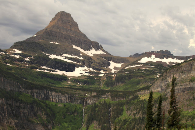
Near Logan Pass on the Continental Divide. Just to the left off of the photograph is a triple divide where water flows to the Missouri River via Cut Bank Creek and the Marias River; to the Columbia River via Pacific Creek and the Flathead River; and the Saskatchewan River via Hudson Bay Creek and the St. Mary River. Three drainages on their way to the Gulf of Mexico, the Pacific, and Hudson's Bay and the Atlantic.
At Logan Pass I noticed this limestone algal mound, which is a buildup of algae within the Helena Formation.
Close-up of the mounded laminae that formed when algae grew upwards through fine-grained lime mud.
Two mounds can be seen here in front of the Visitor Center. No one seemed to notice these gems and there was no sign announcing their presence.
The weather is always "iffy" up north but it was dramatic.
The famous red busses in front of the Lake McDonald Lodge.
The interior lobby of the Lake McDonald Lodge.
Kayakers on Lake McDonald, a glacially carved body of water.


No comments:
Post a Comment
If your comment will not post, email me with the problem.