Full moon setting over Cape Horn
A view of Cape Horn - the southernmost piece of land in the America's (note that this view shows land that protrudes to the east - there is actually other land around the corner that is a bit farther south).
Part of the Wollaston Archipelago which includes Cape Horn Island
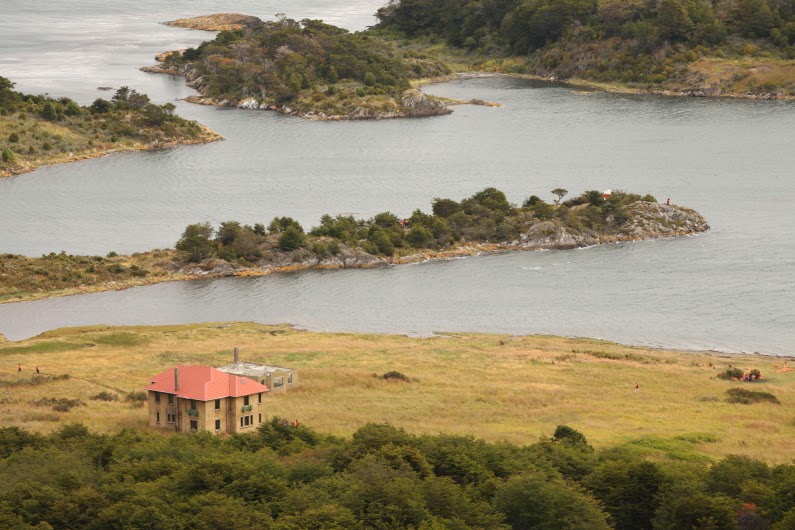
This is a view of Wulaia Bay and the abandoned meteorological station
This plaque adorns the entrance to the meteorologic station. Charles Darwin landed here in this bap on January 23, 1833. Many of our passengers were thrilled to learn of this and I in turn was thrilled at their joy in it.
Looking out from Wulaia Bay toward Isla Hoste
This is actually a pretty nice day for this part of the world. There was no rain and the visibility was decent.
Our ship, the Stella Australis can be seen within the bay
The next day we traveled to the northwest side of Tierra del Fuego Island. The mountains and glaciers were spectacular.
This is the Aguila Glacier in Agostini Fjord
This photo was taken from the ship but shows the beach we landed on and hiked across to the foot of the glacier
Coming ashore by Zodiac
The sun poked through for a moment while on the beach, highlighting the rugged nature of this island
This is most of the folks in our group at the glacier
Low tide in Agostini Sound
Glacier reflected
Fantastic rocks, formed when an oceanic slab was subducted beneath South America
Loading the Zodiac boats
The Stella Australis in the Straight of Magellan
Gull on Magdalena Island
A different gull on Magdalena Island
The Straight of Magellan was filled with ice during the last Ice Age and Magdalena Island was shaped a this time. Note the erratic boulder on the beach on the distance.
Another view of Punta Arenas. From here we would travel to Torres del Paine National Park. See my next posting for pictures of that landscape.


This is a very great blog on what you guys seen down in Chile. I love all of the pictures.
ReplyDelete