At Zion National Park I gave a lecture to the members of the Zion Natural History Association titled, "New Insights Into the Evolution of the Virgin and Colorado Rivers." This was a brand new lecture for me and I had the usual jitters about how it was all going to go. But the 75 people in attendance were much appreciative of the talk and the animations I constructed in the Apple Keynote application. This was the view I had driving into Zion from near Colorado City, Arizona on the Smithsonian Butte Road. Rocks are Triassic and Jurassic in age in the distance.
I wanted very much to see the site of the December 12, 2013 rockfall in Rockville that killed two people. You can read a Utah Geological Survey article about it here. The Salt Lake Tribune also ran an article here.
I went to take some pictures of the site. I was told that the house rubble was cleared away about three weeks prior to my arrival. You can see the size of the boulders in the foreground and the source area on the cliff at top. This is the Shinarump Conglomerate Member of the Chinle Formation. The slope is the red Moenkopi Formation, also covered with blocks of Shinarump.
More rubble from another different angle. These are very large boulders composed of well-cemented conglomerate.
 |
| Copyright St. George News, photographer, Dan Mabbutt |
The front of the Visitor Center is filled with covered tents from various nearby agencies who also wish to celebrate their geology. Here kids color paper that will be pressed into a button.
Nearby Capitol Reef National Park also sent a crew over to extol the wonders found there.
A visitor contemplates a cast of a saber-tooth cat skull from the Pleistocene Epoch.
We heard a lot about the five species of Plesiosaurs that have been found in the nearby Tropic Shale. These were swimming reptiles that preyed on ammonites and other Cretaceous sea creatures.
Grand Staircase-Escalante National Monument has become a treasure trove of dinosaur finds recently. This includes the famous Tyrannosaurs, the teeth of which can be seen here at this display. After the Festival was over, I decided to drive home through the Monument, located just east of Bryce Canyon.
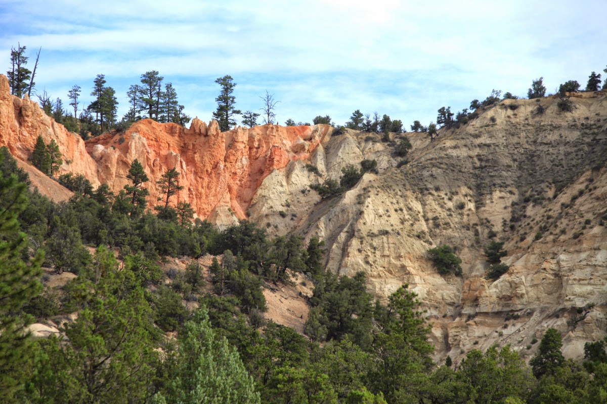
On State Highway 12 the Paunsaugunt fault is clearly seen to the north of the highway. Here (looking north) the pink Claron Formation (Eocene), so well exposed at Bryce Canyon, is faulted down against the gray Kaiparowits Formation (Cretaceous). The throw on this normal fault is about 2,000 feet.
The geo-treasures continue south on the unpaved Cottonwood Canyon Road. In this view, the folded Carmel Formation (Jurassic) is truncated and covered by Plio-Pleistocene river gravel. When the Carmel Formation was bent, it was quite young and not completely consolidated.
In this area near Kodachrome Basin State Park, the sandstone pipes are really well exposed. Note how the beds all dip into the center of the exposure, with a vertical pipe in the center. During the Jurassic, material was mobilized from below and shot upwards to disrupt the bedding. As the material was removed from below, the overlying layers sank downwards toward the center of the pipe. Recent erosion has cut the pipe in half for all to see.
This escarpment forms the backdrop to Kodachrome Basin State Park. The brown and highly eroded Entrada Sandstone forms the base of the escarpment, with the Henrieville Sandstone and Dakota Formation capping the top. This area was known as Thistle Flat until an expedition from the National Geographic Society visited it in 1948 and suggested the name change.
This is perhaps the most colorful part of the road. It is called "Candyland" or "The Squeeze," take your pick. Here the Carmel and Entrada formations are turned upright along the East Kaibab monocline (view to the south). They are both easily weathered to give the texture to the scene.
View to the north in Candyland or "The Squeeze." The rocks are highly deformed and it all happened while these in view were still very deep in the subsurface. Subsequent erosion left these shapes on the ground.
View to the south of the Cockscomb, the largest feature seen along the Cottonwood Canyon Road. These rocks are also upturned on the monocline and dip to the east (left). The road is constructed on the tilted Tropic Shale (gray) and this feature is known as a strike valley. The hard surface that forms the Cockscomb is composed of the Dakota Formation. It is a continuous (but tilted) unit in the subsurface. It has been cut by small streams that flow from left to right across the view.
The Paria River near the Cottonwood Canyon Road.
Near the southern end of the Cottonwood Canyon Road. Take this scenic road if you have a few hours to spare on your way to Bryce Canyon.
The Bryce Canyon Geology Festival is always held over the last weekend in July. Plan to be there in 2016.


The Cockscombs looks like they have about the same tilt angle and E/W orientation as the Dakota Hogbacks near Loveland, CO and the Flatirons in Boulder, CO. I think they are also all the Dakota Formation. I also think I read that all the new continental crust from this part of Colorado down towards Prescott was assembled about the same time in the same way. How about a new blog entry explaining correlations of Geologic features along a diagonal line from Prescott to Boulder? I'd sure read it!
ReplyDeleteChris - I may do that - thanks for the suggestion and for reading.
ReplyDelete