During the week of April 15 to 19, I led a group of seven explorers to southeast Utah and the stunning landscapes of Grand Staircase-Escalante National Monument. The first half of the week saw the arrival of
winter storm Yogi. We were "encamped" in Boulder Utah at the southern edge of this large storm. And we were treated to a rare sight of the red rocks in snow. It was a fantastic experience.
On the way up to Utah, the wind was howling which explains the bad hair day. But we stopped at Grosvenor Arch and took a re-photograph of a picture published in the September, 1949 issue of National Geographic. Even the trees were still there 64 years later (although the pinyon pine had died at the height of the last drought).
Morning, April 17. Here is Long Canyon in Grand Staircase-Escalante. There aren't many days in the spring when you can see it this way.
This is Steep Creek mantled in snow. The cliffs inside the canyon are composed of Wingate Sandstone with caps of the Kayenta Formation on top.
Wingate cliff and pinyon pine in the snow on the floor of Long Canyon
This cottonwood tree was beginning to leaf out when it was caught in the storm
The round balls on the cottonwood will eventually open and disperse the "cotton", more correctly called seeds.
Ron H. looking up into a narrow slot canyon
Box elder trees in the slot canyon. The box elder is a member of the maple family and is the state tree of Utah.
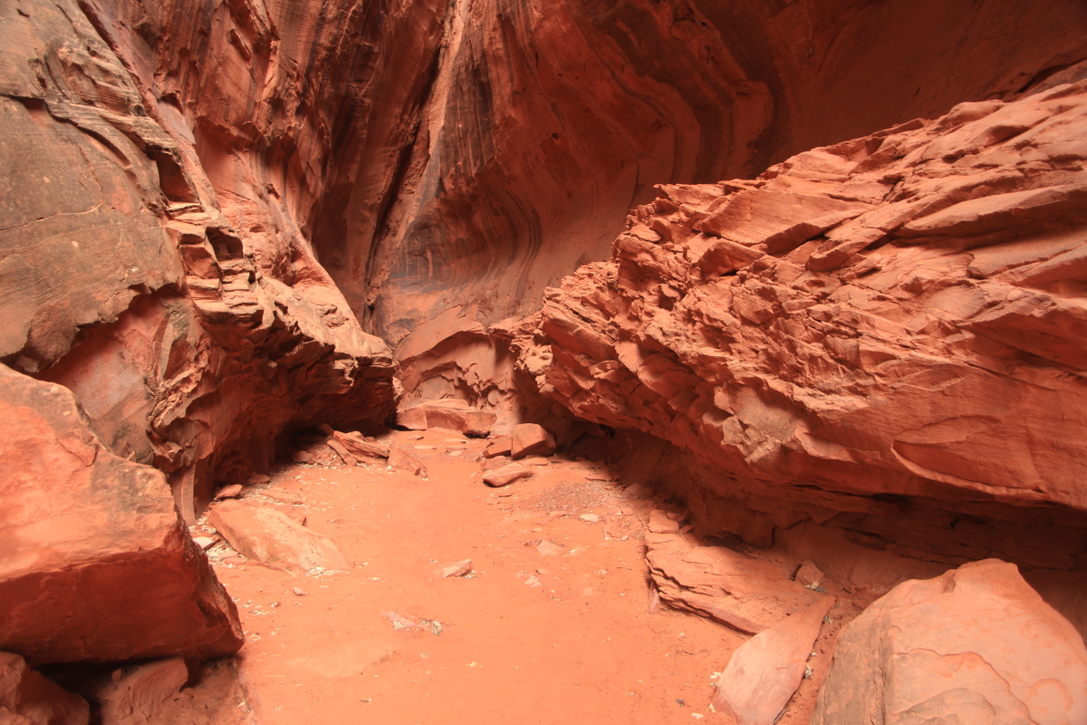
The end of the slot canyon - a magical place
Silhouette
Frosty branches
Snow covered trees. The snow was completely melted by the time we returned in the mid-afternoon.
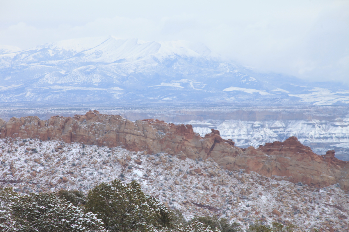
Farther down the Burr Trail, we caught a glimpse of the Waterpocket Fold (middle distance) and the snow covered Henry Mountains in the far distance. The snow was at a relatively low elevation.
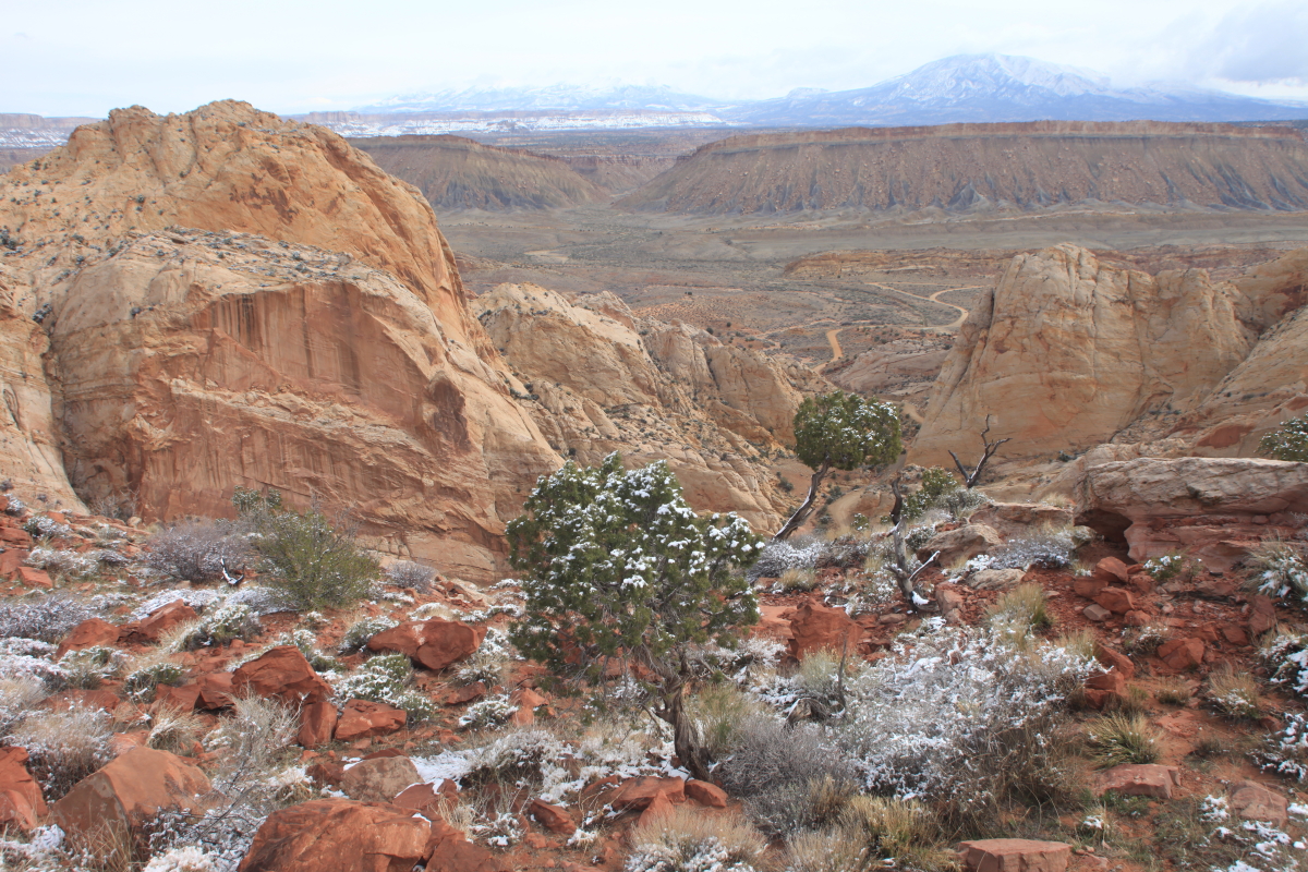
A wider view
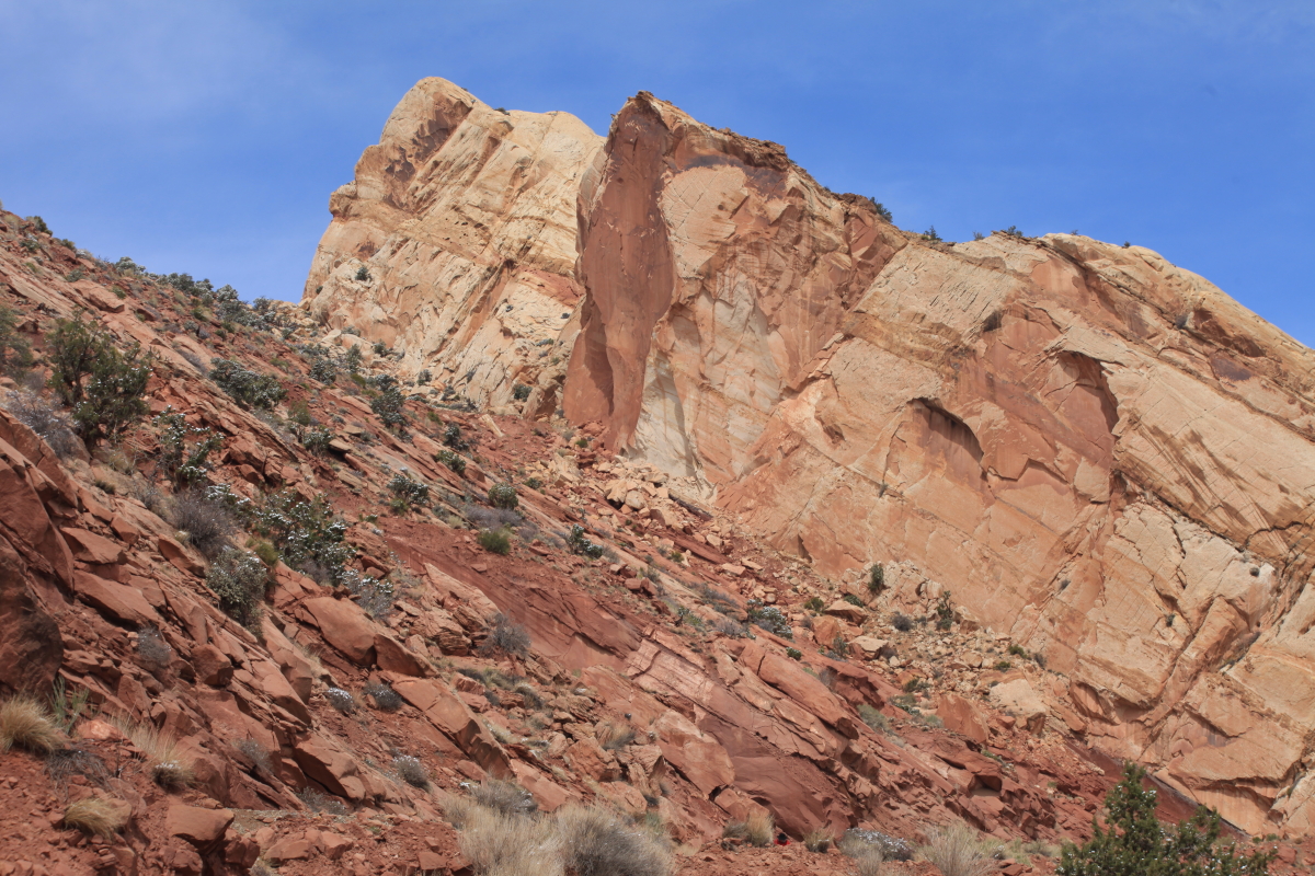
A closer view
A western view
An enticing view
A happy crew. John G., Ron H., Ed H., John K., Catherine E., Stan B., Kate K., Wayne R., and Gail M.
We soon got a view over the top of the Fold, down to the Strike Valley
We walked the Burr Trail Switchbacks!
The road is visible at the bottom of the canyon
Look at the angle of folding on these once flat-lying strata. Fine-grained river deposits of the Kayenta Formation (left) with the light-colored Navajo Sandstone on top to the right.
A pull-away view of the same contact and angle of folding
On the floor of the canyon
Heading home! This trip was conducted as part of the
Museum of Northern Arizona Ventures Program. These are fantastic trips!


No comments:
Post a Comment
If your comment will not post, email me with the problem.