In Iceland there are many roads that line the coastal areas. But no paved roads into the interior. It is too wild. Even the most major paved highway in the country, the Ring Road or Highway 1, has many river crossings on bridges that are one lane! In this country the "dirtiest" roads have a designation of "F" in front of them. With the blue-bird days we've been having, we took F821 up into the mountains. This is a drive that goes from green farmland to a literal moonscape without any vegetation.
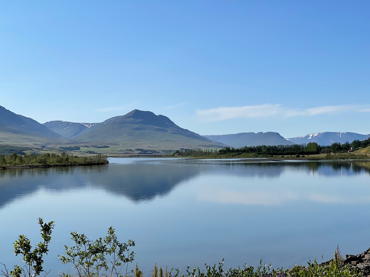
Eyjafjordur (Eyja Fjord) near Akureyri where the river spills into the sea. We followed this river up into the mountains on an "F" road. (Those without much "off-road" experience might use the appellation "F" for this road in a different way)! ;)
Highly civilized societies plan for and implement alternative modes of travel beyond fossil fuels. And this in a country where it rains almost every day! If only.....
The old church in Grund. Since very few people attend these rural churches in Iceland, they do serve admirably for the purpose of framing landscape photos to photographers. God works in mysterious ways!
A massive landslide came off of the cliff face in the middle of the mountain. Its lobe of debris sits as a pile of rubble across the entire width of the photo and is seen just above the little grove of dark green farm trees. Look for the "dots" in the rubble pile that are actually room size boulders. The debris fan is arcuate in shape and the steep cliff where it let loose is also quite visible. Iceland is truly a laboratory for the geologist!
U-shaped valleys and rad scene driving up. The road is paved for about 15 miles.
As we start to climb upwards the farms disappear and the stream picks up gradient as it runs over rapids.
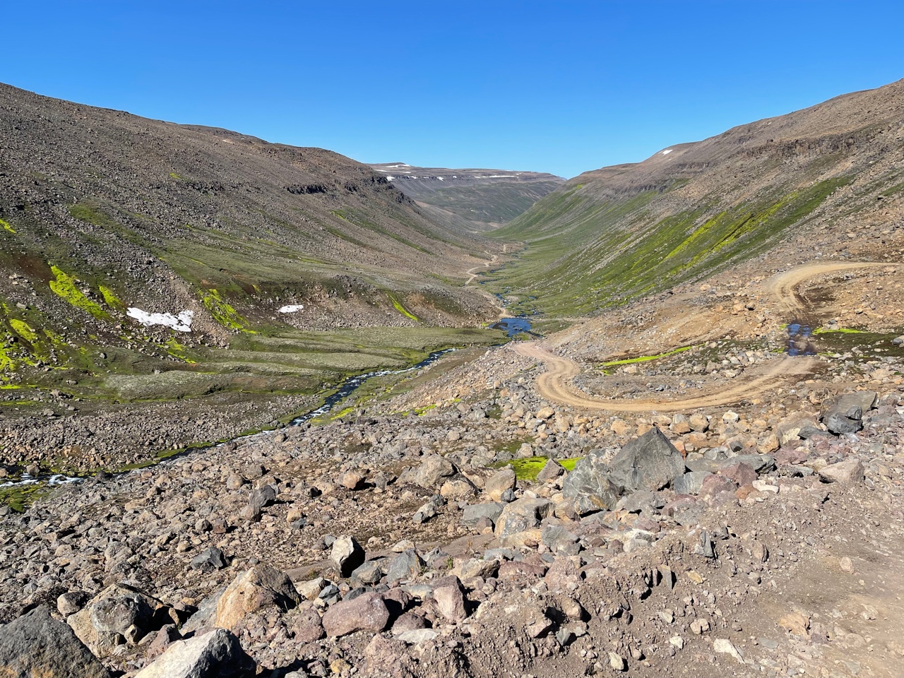
Note the U-shaped valley looking downstream. Carved by the massive ice sheet that used to cover all of Iceland just 10,000 years ago.
Layers and layers of lava, one after the other. Over 6 miles of volcanic pile are here where the Mid-Atlantic rift and a hot spot are located.
A massive alluvial fan issues from a side valley.
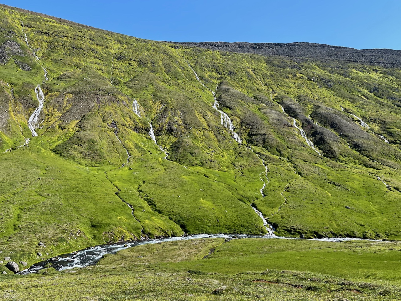
It rains so much that the hill slopes just "bleed" water. The waterfalls seen here are not pouring over the top, they begin as springs just below the top.
Multiple stream crossings caused brief moments of "should we?"
A final very steep climb brings up to the top of the lava flows which have been high above us most of the way.
And then, the moonscape. Literally. Not a speck of vegetation. This plateau, about 2500 feet in elevation has too harsh of a climate to support any kind of vegetation. The back sand surrounded every boulder. It was quite unusual.
The road kept going but we were out of time.
John admires the landscape, er moonscape.
View back down the steep section of road.
I'm so glad we made it to the top of the lava plateau!
A recent rockslide is visible back down on earth.
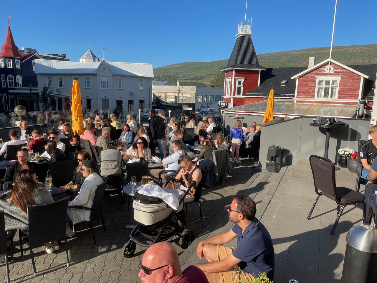
The great weather always brings out the population in Iceland. Days like this are rare and must be enjoyed! Thanks for reading.


No comments:
Post a Comment
If your comment will not post, email me with the problem.