Here is a view of the portion of the globe we would be flying over on February 13
Take off from Cairns, Australia. The air strip is located on the left hand side as we swung north over the coast.
Just past the Great Dividing Range, we saw the Tablelands of the Cape York Peninsula. A large river seems to be coming out of the jet engine.
We were directly over Darwin, Australia (not visible) and could see the many estuaries that indent this northern coast of Australia
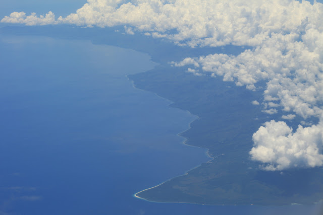
Across the Arafura Sea the next land visible was East Timor. The Indonesian subduction trench would be just to the south of this and responsible for the lands here.
The eastern coast of Sulawasi, part of Indonesia which is the fourth most populous nation in the world (after China, India, and the United States)
This is the north coast of Borneo. We are flying directly over the nation of Brunei.
Finally, the southern coast of Indochina comes in to view. This is the coast of Viet Nam.
The great Mekong River is visible here. Note the many distributary channels that snake their way to the shoreline.
Channels of the Mekong River Delta area. The Mekong is one of Asia's great rivers. This river is more than 1,200 miles longer than the Colorado River in the American Southwest. It begins high in the Tibetan Plateau and snakes its way across the Indochina Peninsula. YOu can read about it here.
Flooded rice fields glisten in the afternoon sun west of Ho Chi Min City
It is burning time in Southeast Asia. Readers of this blog will remember my earlier postings from Thailand last year. The air quality suddenly got very bad.
More fires. I am now in Cambodia exploring the city of Phnom Penh and the archaeological site of Ankgor Wat. Check back to see some images and descriptions of those places.


No comments:
Post a Comment
If your comment will not post, email me with the problem.