Monday, December 02, 2013

Thanksgiving at the Bottom of the Grand Canyon and Phantom Ranch

Helen and I have been starting a tradition of hiking seven miles down the South Kaibab Trail at Grand Canyon to enjoy Thanksgiving at Phantom Ranch. We were last here in 2011. This year we led a group of 20 people down to the Ranch and many of them were interested in the geology along the way.


This is a view to the east from the Red and White switchbacks toward Wotans Throne and Vishnu Temple. The pack mules are headed up after taking down some of our gear.


This is my new hiking buddy - Jake from Florida. I will want to have him as a trail assistant in a few years for my backpacking trips.


One of my favorite places along the South Kaibab Trail is this outcrop where boulders of the Shinumo Quartzite (purple chunks) are encased in Tapeats Sandstone (brown layers). This represents a single day way back in the Cambrian time period when waves of the Tapeats Sea washed against an ancient cliff and the boulders rolled down into the accumulating sand. Truly an awesome outcrop right there for everyone to see.


Speaking of Shinumo Quartzite, this interpretive sign has reappeared after an approximate 20 year absence. Where was it for all of this time?

Another favorite place for me is this view of Zoroaster Temple, a stately and symmetrical monument that faces the main tourist area at the South Rim. Ain't she grand?


You can always tell when you are getting close to the Ranch - the Ranchers are very festive for this holiday gathering. Here is ranger Mandy T. showing off her festive mood.

Pumpkins lining the outside of the historic structure, now 91 years old.


Part of our group savoring the start of the feast.

Rub-A-Dub-Dub, lets grab the grub!

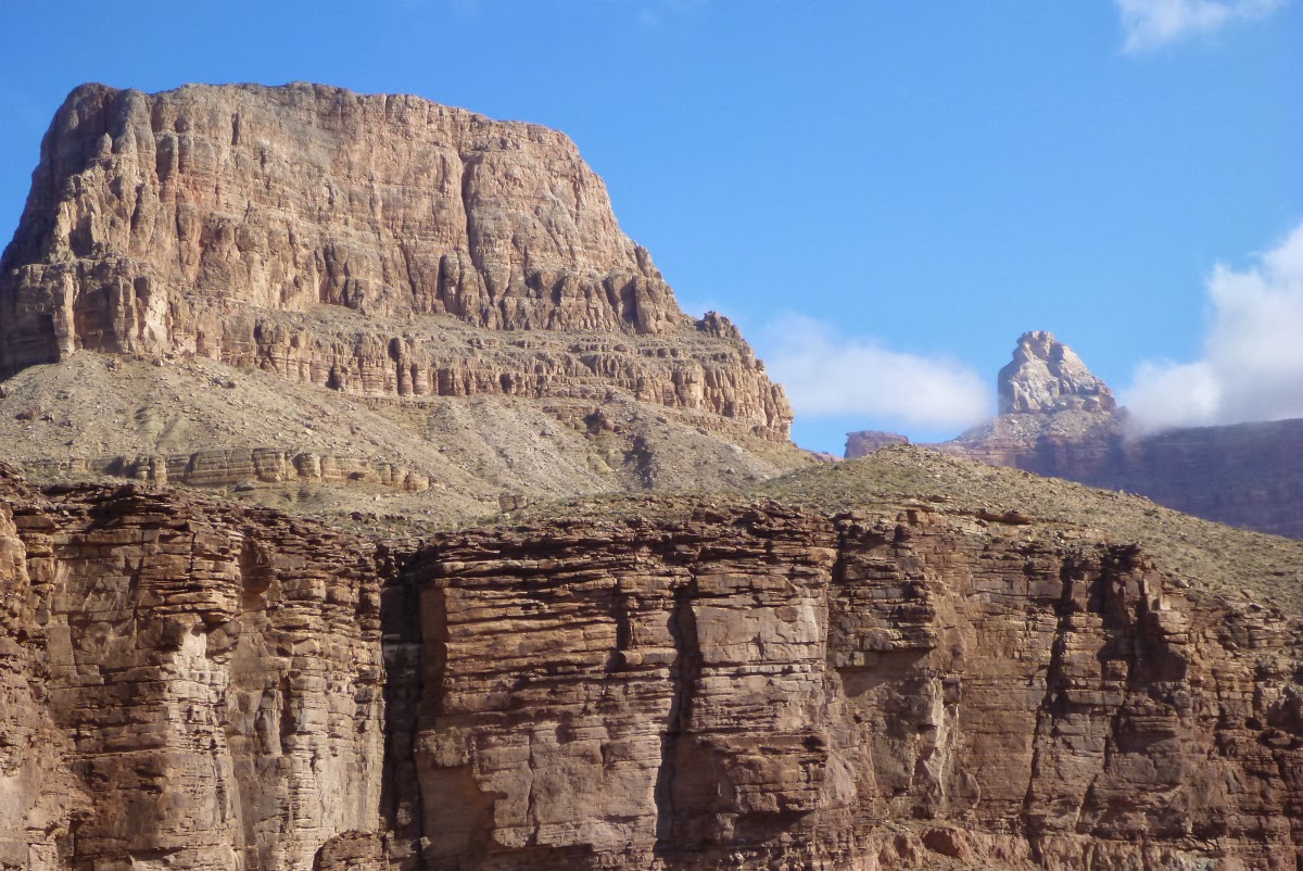
Our layover day on Friday included a hike on the Clear Creek Trail with its wide views to the west. In the background are Cheops Pyramid (left) and Isis Temple (with a cloud wreath).


A view to the east up the Inner Gorge of the Colorado River. It is incredible to think that this giant slot canyon has been carved in essentially the last one million years, as the river chiseled its way down through the hard Vishnu Schist and Zoroaster Granite. This is a truly inspiring view.


My finger rests on a surface that was eroded down into the schist, a surface known as the Great Unconformity. The dark rocks in the lower right are 1,750 million years old, while the conglomerate above the angled surface is "only" 525 million years old. This represents a gap in the rock record of about 1,225 million years! The short story is that the schist formed with about 13 miles of additional rock on top of it (minerals within it document this). This 13 miles of rock was eroded during the "gap" and then the conglomerate was deposited on top of the eroded surface.


An inspiring view of Zoroaster Temple (right) and Sumner Butte (left) from the Clear Creek Trail.

Looking at Hopi Point on the South Rim. Note the low hanging clouds within the canyon. There was an inversion that made the international news regarding this rare weather phenomenon. You can read the article and see the pictures from above here.


My friend Chuck L. sent me this image from space of the Four Corners region during the cloud inversion. You can see the Grand Canyon outline in one of the light-colored fog "fingers" stretching out to the left.


Here are the remnants of the inversion around the Village area on the South Rim.


Helen and I on the trail, Thanksgiving 2013.


It just wouldn't be Thanksgiving at Phantom Ranch without a visit to the beach! Note the clean, new sand left from the controlled flood event in mid-November.


Sarah was in love with these ripples from the Hakatai Shale, used by the rangers to give talks at the Ranch.


I got to experience the lighting of a menorah for the first time. Thanksgiving this year coincided with Hanukkah and the next time this will happen will only be in the year 79,811 AD See the details here.


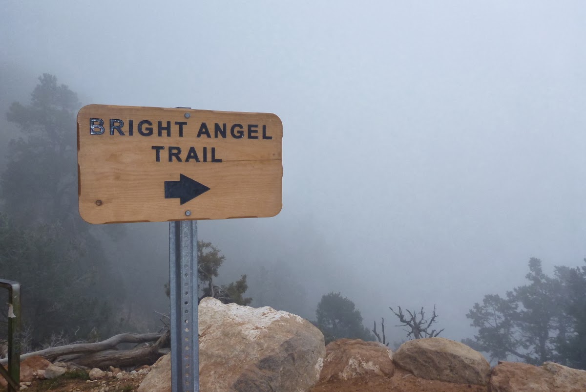
And so on Saturday, we began the 9.5 hike out the Bright Angel Trail. Here we have just crossed the Colorado River on the Silver Bridge.

The rim was fogged in all day - we hardly sweated at all coming out.

A small waterfall in the Tapeats Sandstone.


Jacob's Ladder on the Bright Angel Trail winds its way through the Redwall Limestone.


You never know what you will see at the bottom of the Grand Canyon. Here a French tourist celebrates in a unique way.


The resurrection moss was a lively green on this über-overcast day!


Near the contact of the Coconino Sandstone and the Toroweap Formation (elev. approximately 6,200 feet), we entered the clouds.


And the trail disappreared.


But even as this memorable trek was ending, the Grand Canyon had one more surprise for us - hoar frost on the shrubs and trees just below the rim!

A close-up of the hoar frost that covered all the bushes just below the rim. This was a very unusual Thanksgiving with respect to the weather.


Young Jake at the trailhead after completing his first Grand Canyon hike!


Jake with his mom, Debbie W-S., on the right and Helen with Colin on the left. We so enjoyed this group and look forward to more trips with them in the future.

Saturday, November 09, 2013

An Autumn Hike in Southeast Utah

Last month I embarked on a fantastic hike in the area of southeast Utah. It had plenty of red rocks, a small stream and some curious ruins and pictographs. The weather was delightful  during the day but below freezing most nights. And the fall colors were at their best. Have a look.

The hike began at 7,000 feet on top of the Shinarump Conglomerate Member of the Chinle Formation. You can see it capping the mesa on the right skyline. The red slope below is cut into the Moenkopi and Organ Rock formations with the Cedar Mesa Sandstone making up all of the light colored rocks inside the canyon.

Another view of the section just described.

Sandstone heaven - the vast majority of the hike was within this one rock unit, deposited near the shore of a Permian age beach.

Heading down.

One of the first things we spotted was an old ranch  house with the wagon still waiting nearby to make a run to town, only 50 miles away. It was amazing to see this wagon returning to the earth from its last position in  the "driveway".

The was lots of well-developed  crytobiotic soil in this little abused section of the desert.

And arches too. Can you spot this one in the distance?

Many alcoves had ruins within them.

A closer look. It was impossible without ladders to get any closer.

Interesting hand prints and dots.

And grinding stations for food stuffs.

View out to the east from an alcove.

The autumn colors in the cottonwood trees was at its peak in the 3rd week in October.

Especially when framed by the sandstone.

Gold for the soul!

Everywhere the color was spectacular.

A nice pictograph from at least 700 years ago.

This one had three other "friends" as well.

Hmm? What could this scat be from? It is pretty large.

Moving on downstream.

A large flood had ripped down the canyon just about a month before.

Yep - there is the one who left the scat on the trail - a brown bear. He was shy and never really showed is face to us.

Pool reflections.

Painted hand prints.

An anthropomorph.

Joe had found this panel while wandering around in  our camp below.

We did not see to many depictions of bighorn sheep but this is one well rendered.

Here is a view of some prehistoric backpackers.

An here are some modern ones.

I am so fortunate to have friends who love to hike and camp in the wilderness. This five-day hike was one of the best ever!

Monday, November 04, 2013

More Details About the Grand Canyon/Bell River Connection

Did the Grand Canyon form 23 million years ago instead of 6 million, as proposed by some geologists? See this updated posting for an interesting scenario in the Colorado River's evolutionary history.  **JUST ADDED: a complete scientific article on this proposal has just been published in GSA Today. You can access the article here where a pdf link is available.

Readers of this blog will recall my last posting about a proposal made by Dr. Jim Sears (University of Montana) at the Annual Meeting of the Geological Society of America in Denver last week. In it he proposed that the ancestral Colorado River might have flowed west through an early incarnation of the Grand Canyon to an area near Nevada, then turned northward toward Idaho and Montana, eventually spilling into the Saskatchewan arm of the pre-Pleistocene (before 2.5 million years ago) Bell River system. The Bell River was an Amazon-scale river system that drained about one-third of the North American continent before glaciers in the last 2.5 Ma reorganized the drainage system.

Here is a map of the Bell River system in pre-Pleistocene Canada, (with an arm of it added by Dr. Jim Sears and colored in red and light blue). It shows how this arm may have run through the Grand Canyon toward Nevada, then along a rift system to Idaho and Montana. The evidence for this? In southwest Montana are Miocene age sediments (about 23 to 17 million years old) in the modern upper Missouri River system. They contain fluvial gravel that is called the Sixmile Creek Formation and they indicate northeast flow directions. They also contain clasts of rocks that are exposed in Nevada. Recent mapping shows that the Sixmile Creek rocks are distributed across 500 miles from the Snake River Plain to the Saskatchewan River area.

This arm of the Bell River thus crossed the present-day Snake River Plain and the Idaho/Montana Continental Divide to connect with the Saskatchewan arm of the Bell River. Note a greatly diminished Mississippi River in the pre-Pleistocene United States.

The Bell River flowed eventually to the area of modern day Hudson Bay and the Hudson Strait to the Labrador Sea. It ended in the Saglek delta which is the largest depositional basin between Baffin Island and Florida. It contains a 5-mile thick section of sediment. Recently released geoinformation from oil companies shows that the Saglek deposits contain Pennsylvanian age (about 300 million years ago) pollen fossils that were transported from their source rocks by this ancient river. Sears surveyed the drainage area of the Bell River and suggested that the likely source area for these transported fossils was the Supai Group rocks in Grand Canyon. One might think that other Pennsylvanian age rocks could have also supplied the material to the Saglek basin but they reside south of the modern Great Lakes and thus on the other side of the drainage divide.

Of course, this idea is not a slam dunk immediately. Further testing of the idea is necessary. But it does dovetail with other proposals by Karl Karlstrom and Brian Wernicke that a paleocanyon in eastern Grand Canyon might have been present during the Miocene.