Machu Picchu entrance gate is at an elevation of 7,972 ft. asl and Wayna Picchu in the middle distance is at 8,835 ft. asl. Where in the world can a trail be located? It is within the shadowed left hand side of the mountain.
I got to walk through Machu Picchu alone for 30 minutes on my way to the trailhead.
Fantastic light and quiet. They now only allow 2,500 people a day to enter the site. Visitation has skyrocketed since it was voted as one of the New Seven Wonders of the World, although a reading of the provided link will show that the methods used to determine these sites was decidedly unscientific and subject to intense national manipulation.
Looking toward the residential area of Machu Picchu.
More residences, obviously lacking the thatched roofs.
The movement and precise carving of the very large stones never ceases to amaze. See some ideas here although perusing the web on this topic may make your head spin.
Some llama's were out frolicking on the grounds.
They are very curious and were the only draft animals that the Inca had.
This photo was taken at about 6:45 AM. I had never known that a great glaciated mountain named Nevado Salcantay was present to the west of Machu Picchu. But I was up before the clouds covered it and this is only the beginning of the rainy season.
Inca residences framing Machu Picchu Mountain (background).
A wonderful day to explore.
Finally, 7 AM arrived and those with the special tickets for Wayna Picchu huddled at the gate. The extra fee is $25 US and only 200 are made available at 7 with another 200 at 10 AM.
Disheartening to some, the trail starts out going downhill to a saddle about 150 feet. But the views are fantastic - this one to the east with the Urubamba river 1,300 feet below, carving its canyon toward the Amazon basin.
And then it is up. And up. The trail is steep but not undoable for those in good shape or with big hearts (lungs). It is steps most of the way.
Only a few areas had steps chiseled into the granite, formed when liquid magma cooled in the earth about 277 million years ago. This rock is part of the Vilcabamba batholith.
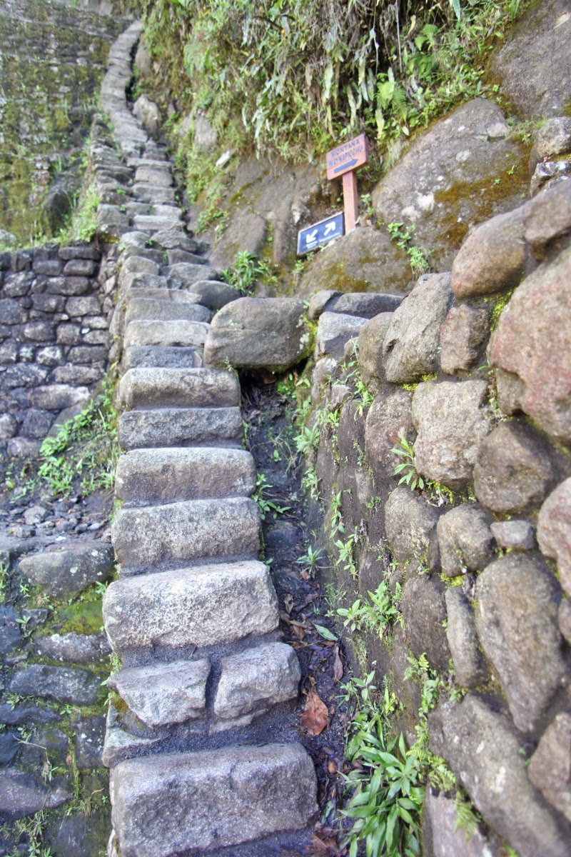
This was the way down (there is a loop trail at the top) but it is unbelievably steep. I was actually scared coming down it with a less than perfect knee. The treads were only about 6 inches wide and the risers were in some cases 18 inches. No rails, no handholds.
Machu Picchu from the top of Wayna Picchu! In 2006 Japanese researchers proposed that Machu Picchu was at great risk from a catastrophic landslide. The low spot where the site is located has been mapped as a graben with two faults passing on either side of it. Others questioned the sensationalism of the Japanese findings but landslides in this rugged and deeply dissected terrain are common.
Close-up of the site from Wayne Picchu.
View to the east. What a great way to start the day - the only thing missing in this picture is the lovely Helen!
Sign at the top.
Although I look pretty beat in this photo, it was a great hike and peanuts compared to Mt. Kilimanjaro!
A house with a view! One of the guards here told me that the workers that built Machu Picchu for Pachacuti lived on Wayne Picchu. No matter who lived here, they had a great view. The Urubamba River downstream can be seen below.
A last look. Travelers to Machu Picchu should consider a trip to Wayna Picchu.


Fantastic photos! Things have changed a bit since joe and I climbed Waynapicchu in 2005. We didn't need a permit. When we were showing our photos of the climb to son Dave, he said, "Why were you guys hanging around at the top?" He said to look closely at the photos. In the photos my hair was standing on end, we had no idea at the time there was so much electricity in the air. It didn't rain either.
ReplyDeleteJudy Alston