Wednesday, May 15, 2013

My 2013 Canyonlands River Trip - Part I

I recently returned from a 10-day trip to Canyonlands National Park, which included a 7-day river trip on the Green and Colorado Rivers. It was beyond fantastic. We had a great group of folks who were really interested in geology and natural history. The river portion of our trip was outfitted by Colorado River and Trails Expeditions (CRATE) and their guides gave us a superb look at the landscape. The 4X4 land excursion was run by Navtec of Moab, Utah. I took over 950 photographs, so the postings will come in various parts. Thanks for reading.

The La Sal Mountains laccolith rise above the Canyonlands region near Moab, Utah. Here rocks in the Cutler Group are exposed in the Colorado River canyon between Moab and the rivers junction with the Green River.

The White Rim Sandstone caps the Organ Rock Formation near Musselman Arch in Canyonlands National Park

The Colorado River as seen from along the Shafer Trail. Our journey overland gave us a great introduction to the scenery we would be seeing.

On day 3 we boarded planes for a scenic flight into the river put-in at Mineral Bottom. This is a new Kodiak aircraft operated by Red Tail Aviation, which was quiet and comfortable.

It was a short 20-minute flight. Here we are beginning our descent into Hell Roaring Canyon.

Touch down at Mineral Bottom. The dirt strip was fine and there was plenty of room to land and take off.

On the river! This part of the Green River is known as Stillwater Canyon and it is well named.

Looking up a side canyon four miles to Upheaval Dome. We had visited this meteorite impact structure on our land excursion and new could see it from the bottom up. Later on, during the scenic flight out from the end of the river trip, we would see it again from above!

We took a hike at Fort Bottom to an Anasazi site located on a bend in the river. Along the way I spotted some bone fragments within a sandstone from the Moenkopi Formation. These are likely skull fragments of an ancient amphibian known as a metoposaur. These large bodied creatures roamed along the shores of Triassic rivers in North America.

 The view of the "gooseneck" in the Green River from the Anasazi site at Fort Bottom

The Fort of Fort Bottom

A bend in the Green River downstream of Fort Bottom

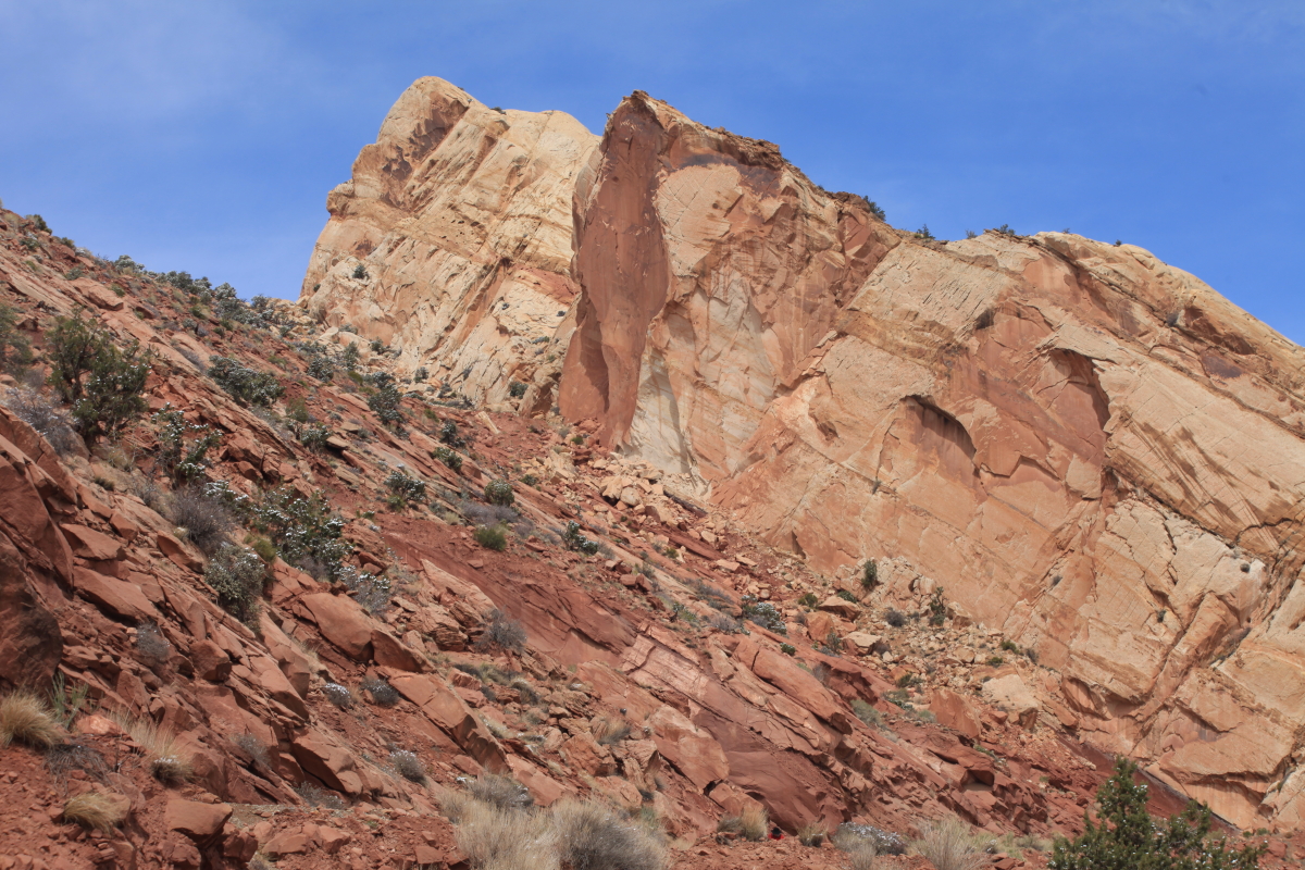
Along the Green River exposures (from top to bottom) reveal small ledges of the Kayneta Formation on the far mesa top; sheer cliffs of Wingate Sandstone; multi-colored slopes and small cliffs of the Chinle Formation; and yellowish to red cliffs and slopes of the Moenkopi Formation nearer to the river. Within the Chinle Formation are five members. From the base of the Wingate cliff they are the Church Rock (red slope), Black Ledge (top dark cliff), Owl Rock and Petrified Forest members (greyish slope), and the basal Moss Back cliff. The fort we visited is built upon the Moss Back Member.

An old cabin still stands on the bar at Fort Bottom

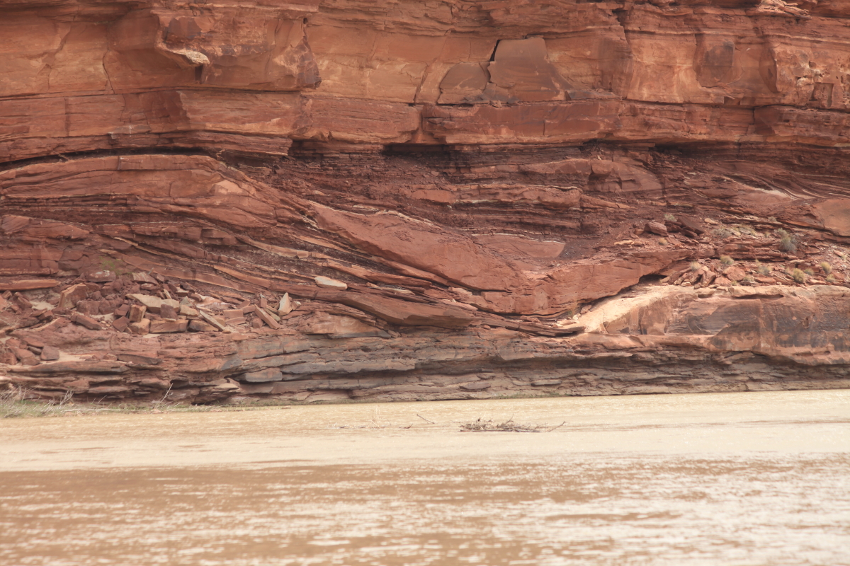
Spectacular scenery along the Green River. In the foreground, the White Rim Sandstone is emerging from beneath the river channel. As we floated downstream, the layers rose up to expose older and older layers of sedimentary rock.

The Buttes of the Cross, named by members of the John Wesley Powell Expedition in 1869. The stratigraphy explained earlier is well exposed here.

The contact of the overlying White Rim Sandstone with the organ Rock Formation produces springs along the river. Groundwater that resides in the sandstone is forced out horizontally when it encounters shale in the Organ Rock. The White Rim Ss. is an aquifer and the Organ Rock acts as a aquatard.

Numerous small Anasazi ruins can be seen along the river corridor

Note the isolated erosional remnant in the center of the photo known as the Turk's Head. It is formed within a bend in the Green River.

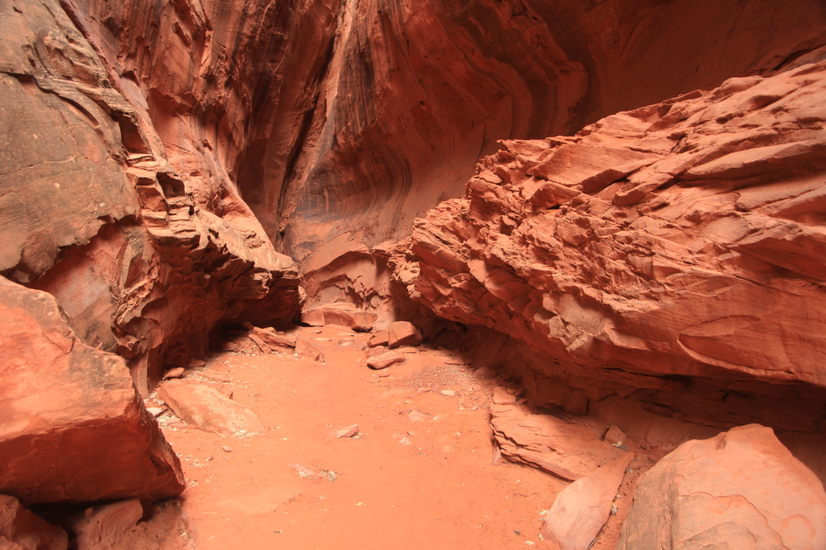
Here is the same feature but seen in another view obtained as we floated by. We pulled over and did a short hike here.

There were more ruins to be seen here. The ruins are all very small here suggesting perhaps that this was the fringe of Anasazi culture.

View from the base of the Turk's Head toward the viewpoint on the rim at Island in the Sky

A dead kit fox makes a menacing face

Numerous channel features were observed in the Organ Rock Formation as we floated by. These features were cut into preexisting sediment, then infilled with other mud, sand, or silt.

To be continued.....

Monday, April 22, 2013

Grand Staircase-Escalante National Monument and Capitol Reef - In Snow!

During the week of April 15 to 19, I led a group of seven explorers to southeast Utah and the stunning landscapes of Grand Staircase-Escalante National Monument. The first half of the week saw the arrival of winter storm Yogi. We were "encamped" in Boulder Utah at the southern edge of this large storm. And we were treated to a rare sight of the red rocks in snow. It was a fantastic experience.

On the way up to Utah, the wind was howling which explains the bad hair day. But we stopped at Grosvenor Arch and took a re-photograph of a picture published in the September, 1949 issue of National Geographic. Even the trees were still there 64 years later (although the pinyon pine had died at the height of the last drought).

Morning, April 17. Here is Long Canyon in Grand Staircase-Escalante. There aren't many days in the spring when you can see it this way.

This is Steep Creek mantled in snow. The cliffs inside the canyon are composed of Wingate Sandstone with caps of the Kayenta Formation on top.

Wingate cliff and pinyon pine in the snow on the floor of Long Canyon

This cottonwood tree was beginning to leaf out when it was caught in the storm

The round balls on the cottonwood will eventually open and disperse the "cotton", more correctly called seeds.

Ron H. looking up into a narrow slot canyon

Box elder trees in the slot canyon. The  box elder is a member of the maple family and is the state tree of Utah.

The end of the slot canyon - a magical place

Silhouette

Frosty branches

Snow covered trees. The snow was completely melted by the time we returned in the mid-afternoon.

Farther down the Burr Trail, we caught a glimpse of the Waterpocket Fold (middle distance) and the snow covered Henry Mountains in the far distance. The snow was at a relatively low elevation.

A wider view

A closer view

A western view

An enticing view

A happy crew. John G., Ron H., Ed H., John K., Catherine E., Stan B., Kate K., Wayne R., and Gail M.

We soon got a view over the top of the Fold, down to the Strike Valley

We walked the Burr Trail Switchbacks!

The road is visible at the bottom of the canyon

Look at the angle of folding on these once flat-lying strata. Fine-grained river deposits of the Kayenta Formation (left) with the light-colored Navajo Sandstone on top to the right.

A pull-away view of the same contact and angle of folding

On the floor of the canyon

Heading home! This trip was conducted as part of the Museum of Northern Arizona Ventures Program. These are fantastic trips!

Friday, April 12, 2013

The Highway 89 Slump Near Page - A Re-Evaluation

A colleague in Page, AZ walked up the lower slope of the Chinle Formation beneath the base of the slump along Highway 89. He did this only three days after it happened and got some really good shots, which he shared with me. It is clear from his pictures that the slump is truly a geologic event as ore than just road metal is involved. See my previous posting here where I postulated that maybe just the backfill in road construction was what failed. However, you will clearly see here that Chinle Formation bedrock also broke away from beneath the road.

This is a sequence of four pictures that progressively approach the lower scar of the break. You can see it here beginning in the upper right and traversing across the center towards the large white boulder in the lower left.

It is more clearly visible here. It looks like the material has collapsed vertically downward.

The break is likely about four to five feet in height. This is located well beneath the roadbed.

This material may have risen upwards as the mass of the slide exerted pressure from above

Another view from above of other parts of the failure. Now we'll look at the road damage itself.

The small crack running from the bottom center of the photograph up towards the top shows that a long stretch of highway was affected by movement

It was this unusual (?) straight break in the roadbed that initially caused me to think that perhaps only road metal hade been involved in the movement. A purely geologic event didn't seem to make sense with such an ordered break.

Note the oil streak likely caused when a very surprised driver "discovered" that something was horribly wrong with Highway 89 below the Big Cut at approximately 5 AM on February 20, 2013. As this person was driving north (uphill) in the slow lane (and this is purely a guess), their left wheels must have dropped into the slumped portion of the highway, causing the entire vehicle to lurch to the left. It looks like their oil pan or some other vehicle reservoir ruptured, leaving the oil streak. Looks like they gained control (?) and steered back to the right as shown by the streak going toward the upper right.

Close-up of the oil streak

Look at these tension cracks beneath the break. They look cavernous in this close-up view and they likely go down into bedrock on the slope of the Echo Cliffs. Remember that larger, older slumps are located on this slope.

Damaged road

It's hard for me to tell if this oil streak is part of the previous one shown or if it is another one that pre-dates the slump. But it shows a few inches of offset here and on the white line.

Yikes! That's a pretty good gape.

It looks like some surface rocks were also involved in the gravity affair

Note how the tension ripped apart the metal guardrail

View in the downhill direction (south) showing the extent of the damage in a telephoto shot. The prominent oil streak shown earlier is barely visible in the center of the photograph crossing the double yellow line back to the left. It looks like someone was clearly surprised by this early morning collapse. It is fortunate that no one was seriously hurt and that the geologic event was rather small.

An earlier human mishap on the slope below - the car obviously is well rusted