Leaving Mongolia, we had a quick 50 minute flight to the south part of Eastern Siberia, over the south edge of Lake Baikal and into the city of Irkutsk, Russia. It's new territory for me on the next two stops, both in Russia. As usual any new stops tend to be highlights on any trip. The air quality was pretty bad on our day at Lake Baikal so not too many pictures are included. Still, it was athrill to visit Earth's deepest lake!
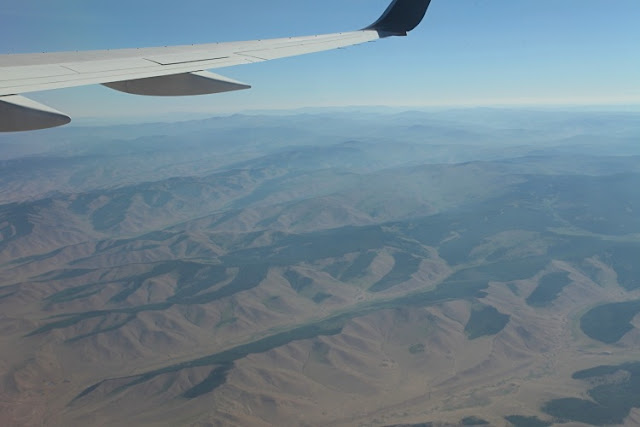
Northern Mongolia and is rolling hills. The south exposures have grass while the northern ones have trees.
Approaching Lake Baikal, we saw the mountains that form the rift shoulder. Prior to rifting, the area uplifted into a broad dome and these mountains are the surface expression of that doming. The lake is barely visible beyond the mountain to the left.
The western side of the lake has mountains that rise about 1,000 feet above water level
Looking down at the source of the Angara River, the only outlet in all of Lake Baikal. Over 300 streams enter the lake but only one exits it. A small town is strung out along the lake shore called Listvyanka. You can see some of the town running up the valley away from the lake. We visited this town on the land portion of the tour.
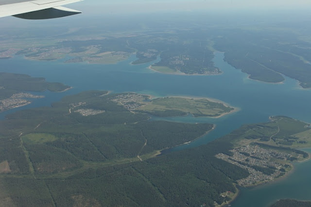
The Angara River was dammed near Irkutsk in 1956 and raised Lake Baikal 4.5 feet. The Angara River channel was also flooded and here it is east of Irkutsk.
Another view of the Angara reservoir
The dam is clearly visible in this photo. The river runs from right to left and Lake Baikal is upstream to the right about 30 miles.
Impressive view of the city of Irkutsk, a major Siberian outpost founded in 1661. Many political exiles have been sent here and many of them came to love the location and the city.
The Angara River west of Irkutsk
Irkutsk city center
The style of architecture in Irkutsk is distinct from other parts of Russia and includes many wooden houses, even log cabins.
The first of many Russian Orthodox churches
Old style broom and door
Along the banks of the Angara River near Irkutsk city center
The Epiphany Cathedral
From the park
We visited the Baikal Museum which had excellent exhibits about the geology and ecology of the lake.
A mounted model of the topography of the lake region with drainages
On the lake by boat
The topography continues at this angle or steeper beneath the water. The ultimate depth is 5,350 feet deep - more than a mile. Since the lake level is at about 1,500 feet, the water is up to 4,000 feet below sea level. In addition, up to 24,000 feet of sediment sit on the lake bottom, meaning that bedrock is almost six miles below sea level. This is as deep as the Marianna Trench making this a huge continental rift!
Just three weeks before this, the lake was still frozen but now it is time to sunabth on the rocky shore
The lake supports a unique fauna with many endemic fish, which are smoked and consumed locally. A fresh water seal has evolved here as well.
We always receive special welcomes when we arrive for lunch
This one was especially colorful
The people here seem to be far removed from the political discourse that is often heard. I am sure that if regular people, like us, had a say in how the world operates, there would be so much less suffering and confrontation.
The indigenous population is still evident in this part of Siberia
This was a great stop and now it is on the Moscow


No comments:
Post a Comment
If your comment will not post, email me with the problem.