This posting is dedicated to Helen Ranney, who is the foremost person I wish I could have shared this experience with. Next time Helen! And...these photos are not astronomer quality but still might give you a sense of the event. [
Note: This posting was updated on August 24 with links at the bottom].
Finally, eclipse day. All along I had been planning to view the solar eclipse without the noise of other human beings, social animals who seem to incessantly feel the need to communicate feelings and thoughts, even when human events are overshadowed (ha!) by natural ones. Besides
seeing the eclipse, I wanted the
hear the wind rustle as darkness instantly fell, I wanted to
feel the temperature change and
sense the magnificence and power of this celestial event. I had the same desire in 1991 and then I drove out into the wilderness of Baja California, then hiked another 3 hours further to an isolated basalt mesa. I imagined that I had no clue what was coming and wanted to know if I could gradually sense that something was coming (I could but not that readily). There, it was easy to slip away into the nothingness and with a cloudless sunny day, I didn't need to move to "a better spot." This time there was some concern about clouds so I needed to have an avenue that ran east-west along the strike (length) of the shadow.
As I planned my location, I found a couple of roads that served this purpose. One was US Highway 20 west out of Casper. Then I noticed other dirt roads west of Casper that might be less traveled and also followed the center line. I targeted one of those roads instead of my initial choice of Highway 20.
I figured if I wanted to be alone, what better place that a road called Poison Spider. And the fact that it lead west to the Rattlesnake Hills was perfect. No one would go out there. And I was mostly right.
Eclipse central about 15 miles west of Casper.
A perfect set up. I am on top of a mesa with great views in all directions and no obstructions.
Sunrise on August 21 - a cloudless and clear day dawned.
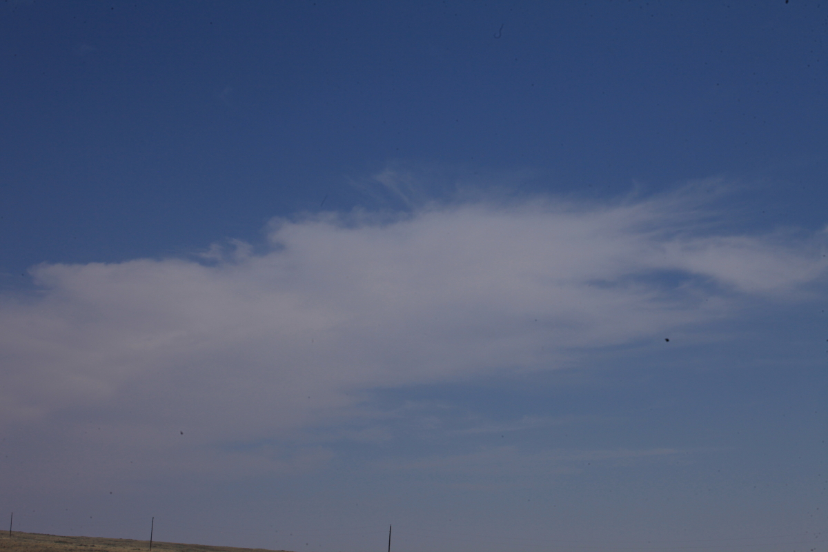
The night before I checked in on a National Weather Service web site and looked at a cloud forecast for August 21. All it showed was a very narrow band of high cirrus that was projected to slice through central Wyoming, obliquely across the center line. It was about as wide as the path of totality but was still only a forecast. I took this shot at 7:30 AM local time and could see what they had been imaging the night before. Note the thicker cloud in the distance (right-center). Hmm?
A little after first contact.
Self-portrait of an eclipse junkie.
This is about 10 AM looking west. That darn line of clouds is moving east-southeast along the strike of the path of totality. Damn! Could it? Would it?
Not quite 50%.
Now at 80%!
This is about 98% and about 5 minutes before totality. I cannot emphasize enough that if your maximum eclipse experience looks like the photo above, it will still be 100% different than if you were to move into the path of totality. Pardon the pun but it is like night and day.
Looking west at the oncoming darkness. Up to this moment, it had been getting progressively darker. But that persistent cloud that I had noticed just after sunrise had now positioned itself right over me leading up to totality. I had briefly contemplated getting in the car - maybe 40 minutes before totality to try to get out from under the cloud. But I saw that the length of it was parallel to the center line and I would need to go north or south. Although the cloud disrupted any temperature or light observations, I could still see the sun through the high cirrus. You win some and you lose some.
It's really coming now! You can see the shadow to the west.

And then, in a flash, it got dark! Totality - the entire disk of the sun was blocked by the passing moon. I was struck by how sudden the darkness came - it was a specific moment - bang! In 1991 I recall more of a transition into totality (that one was seven minutes long). This was sudden and in an instant I felt joy and jubilation. I started to exclaim loudly "Wow" "WOW!" Everything that came out of me was intense and spontaneous. I thought briefly of our ancient ancestors (in this case Plains Indians) who would have been taken totally by surprise at such an event. And the stories they might have invented to explain it. (Forbid the person who stole his neighbors cow or slept with his wife's sister the night before - imagine!) So many inventions by humans to explain the unknown. All of these thoughts quickly gave way to the joy of known explanations we enjoy today. Sheer jubilation overcame me at the wondrous site of our moon eclipsing the sun.

I had been so taken by the change in light on the ground that it took me a moment to look up at the moon. Gazing up I saw the totality - no filters on this one.
View to the east at totality.
View to the west.
Note the tiny speck of Venus that appeared to the west of the eclipsing moon. I saw others stars and planets as well.
In 1991 I scratched the date into a basalt boulder. Here is the date on a slab of Morrison Formation sandstone at my eclipse spot. It as well worth the trip to see this eclipse.
At 2 PM I took this picture of the high cirrus cloud I had been "playing tag with" all day. Here it is far southwest of Casper.
What would a visit to the Cowboy State be without cows. Lots of cows.
Close-up of a cow-lick.
On my way southwest of Casper, I followed the Oregon and California Trails.
This is Independence Rock along modern-day Wyoming State Highway 220. Note the people climbing to the top of the 136-foot tall granite monolith.
Historic inscriptions were found everywhere on top.
View to the north from the top of the rock out toward the Granite Mountains.
Note the line at the base of the rock delineating where lichens grow (above) and the zone void of lichens (below). There used to be dirt and rock around the base of Independence Rock but it has been pounded, shoveled, otherwise and removed by at least 170 years of intense foot traffic.
Devil's Gate is the next attraction traveler's on the two trails encountered. The Sweetwater River was laid down in to this formerly buried ridge of granite (in geologic time), forming a 1/4 mile long deep gorge. Anything not easily explained or understood by early travelers was often ascribed to the devil. But on an interpretive sign, it was told that at least one woman pioneer wrote in her journal that it should have been called 'Heaven's Gate' since it was so beautiful to admire. Wyoming has done an excellent job with roadside interpretive signs and stops. Arizona seems to be too much like California in that the point of driving is to get through it. Here, the land and history seems to be the reason.
There are numerous
pediments of weather gravel that surround the base of the Granite Mountain and here is shot of the material in the pediment.
The wide open spaces....
...soon turned into huge traffic jams. This is where US Highway 287 (leading from Jackson Hole to points south) encounters the isolated Wyoming state highway I was traveling on. View to the south toward Muddy Gap where the junction is located. This was a five-mile back-up that delayed my trip by about an hour.
Fortunately, I was headed west on US 287 to the Wind River Range and against the traffic (once I passed the junction). This back-up headed to toward Salt Lake and Denver was about 8 miles long.
Thanks for reading! Off on a hike now in the Wind River Range.
Update: See an article from the Denver Post with statistics on traffic snarls leaving the eclipse
here. Finally, if you find yourself wondering why someone would drive 890 miles to capture an extra 35% of eclipse, check out
this Ted Talk that is only 12 minutes long. These things are awe-inspiring (old usage).